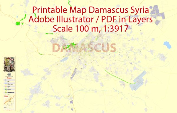
Damascus, the capital of Syria, is one of the oldest continuously inhabited cities in the world, with a rich history and a diverse population. The city is divided into several districts and neighborhoods, each with its own character and history. Here are descriptions of some of the notable districts and neighborhoods in Damascus:
- Old City (Medina): This is the heart of Damascus and one of the world’s most well-preserved historic areas. It’s a UNESCO World Heritage Site and is famous for its ancient architecture, narrow streets, and historical sites like the Umayyad Mosque, the Azm Palace, and the Roman Arch. The Old City is divided into several districts, including Al-Qaimariyya, Al-Buzuriyya, and Al-Amara.
- Al-Midan: Located to the south of the Old City, Al-Midan is a bustling neighborhood known for its markets, shops, and restaurants. It’s also home to the Al-Midan Theater, a historic cultural venue.
- Al-Mazzeh: This district is located to the west of the city center and is a more modern, residential area with a mix of upscale apartments and government buildings. Al-Mazzeh also includes Al-Mazzeh 86, an upscale residential neighborhood.
- Damasquinos (Mezzeh Sharqi): Located adjacent to Al-Mazzeh, Damasquinos is a predominantly residential neighborhood with various services, parks, and schools. It’s known for its pleasant atmosphere and green spaces.
- Abu Rummaneh: Another upscale district, Abu Rummaneh is located to the west of the city center. It’s home to many foreign embassies, government offices, and upscale residences.
- Kafr Sousa: Kafr Sousa is a mixed-use district with government offices, businesses, and residential areas. It’s known for the presence of the People’s Palace, which is an important political and cultural center.
- Jobar: Jobar has historical significance as one of the oldest parts of the city, but it has also seen significant damage during the ongoing conflict. Before the conflict, it was a residential area with a mix of residents.
- Qaboun: Like Jobar, Qaboun has experienced significant conflict-related damage. It was once a residential area located to the northeast of the city center.
- Yarmouk Camp: Yarmouk Camp was originally a Palestinian refugee camp and later became a densely populated urban neighborhood. It has faced significant challenges during the Syrian conflict.
It’s important to note that the ongoing conflict in Syria has had a profound impact on these neighborhoods, and many residents have been displaced. Additionally, the security situation in some areas remains unstable. It’s crucial to stay updated with the latest information and exercise caution if you plan to visit Damascus.


 Author: Kirill Shrayber, Ph.D. FRGS