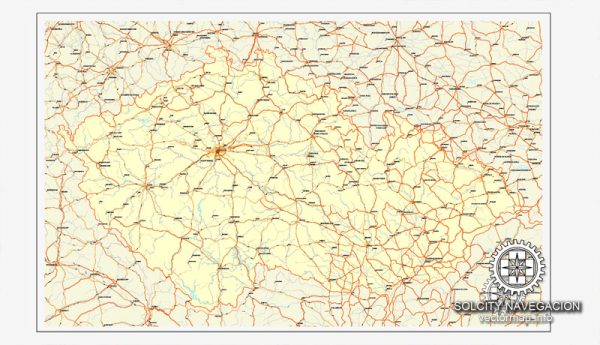
The Czech Republic is divided into several administrative territories. These administrative divisions may change over time, so it’s a good idea to check for the most up-to-date information. General overview of the administrative divisions in the Czech Republic:
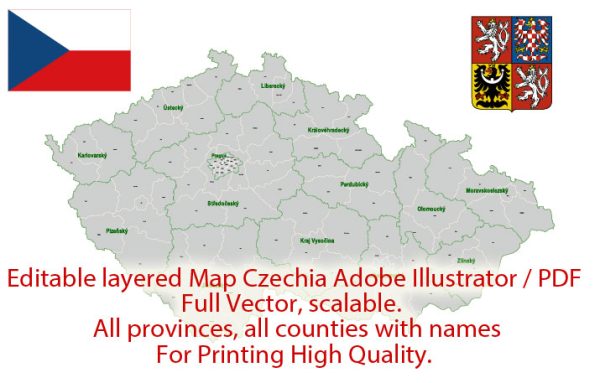
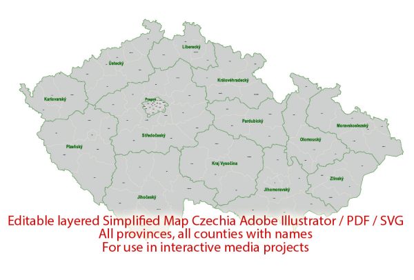
- Regions (Kraje): The Czech Republic is divided into 14 administrative regions, known as “kraje.” These regions are the highest level of administrative division and are responsible for regional governance and coordination of various services.
- Central Bohemia (Středočeský kraj)
- South Bohemia (Jihočeský kraj)
- Plzeň (Plzeňský kraj)
- Karlovy Vary (Karlovarský kraj)
- Ústí nad Labem (Ústecký kraj)
- Liberec (Liberecký kraj)
- Hradec Králové (Královéhradecký kraj)
- Pardubice (Pardubický kraj)
- Vysočina (Kraj Vysočina)
- South Moravia (Jihomoravský kraj)
- Olomouc (Olomoucký kraj)
- Moravian-Silesian (Moravskoslezský kraj)
- Zlín (Zlínský kraj)
- Pilsen (Praha)
- Districts (Okresy): Each region is further subdivided into districts, known as “okresy.” There are 76 districts in the Czech Republic. Districts are responsible for more localized administrative and governmental functions.
- Municipalities (Obce): The lowest level of administrative division in the Czech Republic is the municipality, or “obec.” There are hundreds of municipalities throughout the country, each with its local government, mayor, and council responsible for local services and governance.
- Statutory Cities (Statutární města): In addition to regular municipalities, the Czech Republic also has statutory cities. These cities have a special status and are considered equivalent to districts. They have a higher level of autonomy and are administered differently from regular municipalities.

 Author: Kirill Shrayber, Ph.D. FRGS