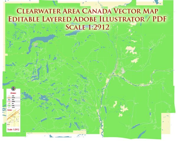
Clearwater is a small town located in British Columbia, Canada, and it is known for its stunning natural beauty and outdoor recreational opportunities. Here’s an overview of the recreation and tourism options in Clearwater:
- Wells Gray Provincial Park: Clearwater is the gateway to Wells Gray Provincial Park, a vast wilderness area renowned for its waterfalls, pristine lakes, and lush forests. The park offers a wide range of outdoor activities such as hiking, camping, fishing, wildlife viewing, and canoeing. Helmcken Falls, one of the park’s major attractions, is one of the highest waterfalls in Canada.
- Waterfalls: In addition to Helmcken Falls, Wells Gray Provincial Park is home to numerous other waterfalls, including Dawson Falls, Spahats Creek Falls, and more. Visitors can explore these natural wonders via well-maintained hiking trails.
- Hiking and Camping: The area around Clearwater offers an extensive network of hiking trails that cater to various skill levels. You can choose from short, easy walks to multi-day backpacking adventures. Camping facilities are available within the provincial park, providing an opportunity to immerse yourself in the wilderness.
- Whitewater Rafting: The Clearwater River and its tributaries offer thrilling whitewater rafting experiences for all levels of adventurers. There are various local companies that offer guided rafting trips.
- Canoeing and Kayaking: The pristine lakes and rivers in the area make it an ideal location for paddlers. Murtle Lake, North America’s largest paddle-only lake, is particularly popular for canoeing and kayaking.
- Fishing: Clearwater and the surrounding area provide excellent fishing opportunities, with an abundance of trout and salmon in local lakes and rivers.
- Wildlife Viewing: The region is home to diverse wildlife, including black bears, grizzly bears, moose, and a variety of bird species. Wildlife enthusiasts can enjoy viewing and photographing these creatures in their natural habitat.
- Winter Activities: While Clearwater is more popular during the summer months, there are opportunities for winter activities such as cross-country skiing and snowmobiling in the nearby mountains.
- Wells Gray Information Centre: Located in Clearwater, this center provides visitors with information about the park, its trails, and current conditions. It’s a valuable resource for those planning their outdoor adventures.
- Accommodations and Dining: Clearwater offers a range of accommodations, including campgrounds, hotels, and cabins. There are also dining options in town to fuel up for your outdoor adventures.
Clearwater’s natural beauty and outdoor activities make it a popular destination for nature enthusiasts, adventure seekers, and those looking to unwind in a pristine natural environment. Whether you’re interested in exploring waterfalls, hiking through forests, or experiencing the thrill of whitewater rafting, Clearwater, British Columbia, has something to offer for everyone seeking an outdoor adventure.


 Author: Kirill Shrayber, Ph.D. FRGS