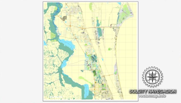
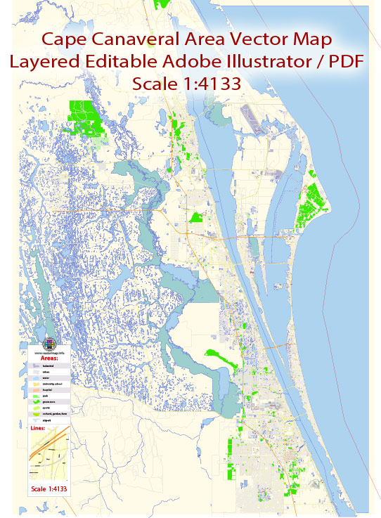
Cape Canaveral, Florida, is a major hub for space-related activities in the United States. It is home to several key space industrial objects, including launch facilities, research centers, and spaceports. Here are some of the notable space industrial objects in Cape Canaveral:
- Kennedy Space Center (KSC): The Kennedy Space Center is one of the most iconic space launch facilities in the world. It is operated by NASA and has been the launch site for numerous historic space missions, including the Apollo moon missions and Space Shuttle launches. KSC is used for both government and commercial space launches.
- Cape Canaveral Space Launch Complexes: Cape Canaveral is home to numerous launch complexes, such as Launch Complex 39A and 39B at KSC, Launch Complex 41 and 40 at Cape Canaveral Space Launch Complex (SLC), and many others. These launch facilities are used by various space agencies and private companies for launching satellites, crewed missions, and cargo missions.
- Cape Canaveral Air Force Station (now Cape Canaveral Space Force Station): The Cape Canaveral Space Force Station is used by the U.S. Space Force for a variety of military and government space launches. It is adjacent to KSC and shares facilities and infrastructure.
- Space Launch Delta 45 (formerly 45th Space Wing): This U.S. Space Force unit is responsible for the operation and maintenance of launch facilities at Cape Canaveral. It plays a crucial role in supporting national defense and space exploration missions.
- Commercial Launch Facilities: Cape Canaveral is a hub for commercial space launches, and several private space companies have launch facilities in the area. SpaceX, for example, has its own launch complex at KSC and frequently conducts launches from Cape Canaveral.
- Exploration Park: Located near KSC, Exploration Park is a research and development center where space-related companies can collaborate and innovate. It fosters the growth of the space industry in the region.
- Cape Canaveral Spaceport: The entire area, including KSC and Cape Canaveral Air Force Station, is often referred to collectively as the Cape Canaveral Spaceport. This spaceport serves as a hub for a wide range of space-related activities.
Cape Canaveral’s location on the east coast of Florida, its proximity to the equator, and its extensive infrastructure make it a prime location for space launches and a key contributor to the U.S. space industry. It has played a pivotal role in the history of space exploration and continues to be a critical hub for space-related activities.


 Author: Kirill Shrayber, Ph.D. FRGS