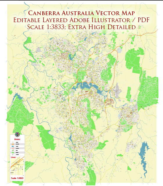
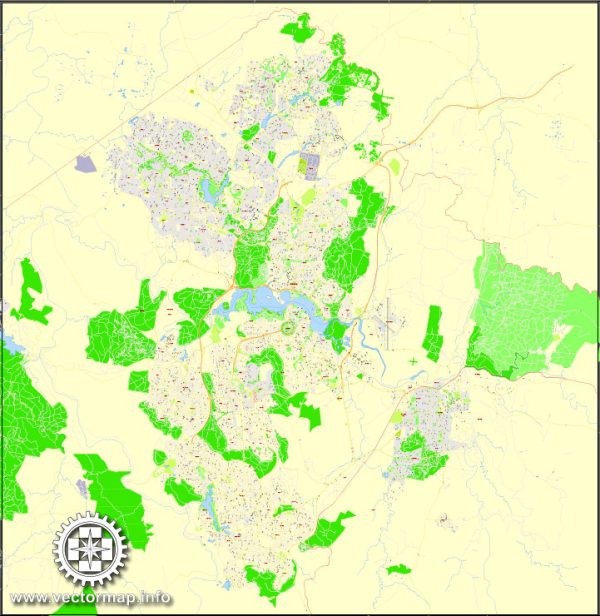
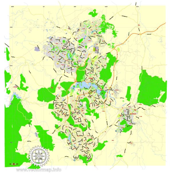
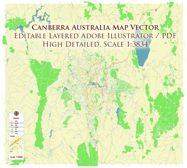
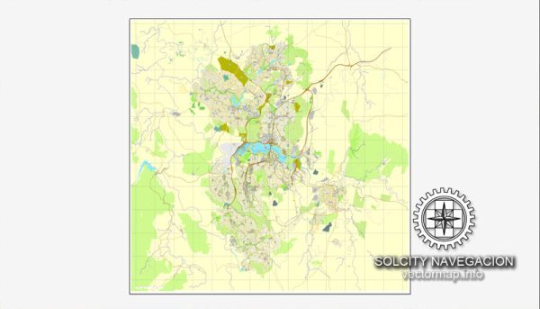
Canberra, the capital city of Australia, is a well-planned city known for its cleanliness, green spaces, and modern architecture. The city is divided into districts and neighborhoods, each with its own unique character and amenities. Here’s an overview of some of the main districts and neighborhoods in Canberra:
- Civic:
- Civic is the central business district of Canberra, where you’ll find government offices, shopping centers, and a vibrant nightlife.
- It’s home to iconic landmarks like the Australian War Memorial and the National Convention Centre.
- The nearby Lake Burley Griffin offers a picturesque setting for recreation and events.
- Braddon:
- Located just north of Civic, Braddon is a trendy, inner-city suburb known for its cafes, boutiques, and art galleries.
- The Lonsdale Street precinct is a popular area for dining and shopping, attracting a young and artistic crowd.
- Kingston and Manuka:
- These adjacent suburbs are known for their upscale restaurants, boutique stores, and a thriving café culture.
- The Kingston Foreshore area offers beautiful waterside dining and leisure activities.
- Belconnen:
- Located in the northwestern part of Canberra, Belconnen is a major commercial and residential area.
- Lake Ginninderra provides a scenic backdrop for outdoor activities, and Westfield Belconnen is a large shopping center.
- Woden:
- Woden is a bustling district to the south of the city center, known for its shopping precinct and the Westfield Woden mall.
- The Canberra Hospital and several government offices are located here.
- Tuggeranong:
- Situated in the southern part of Canberra, Tuggeranong is a family-friendly area with a range of housing options.
- Tuggeranong Hyperdome is a popular shopping center, and the Tidbinbilla Nature Reserve is nearby.
- Gungahlin:
- Gungahlin is a rapidly growing residential area in the northern part of Canberra.
- It features modern housing developments and the Gungahlin Town Centre with various amenities and shopping options.
- Weston Creek:
- Weston Creek is a well-established residential area with parks and schools.
- It’s a quiet, family-oriented community with a mix of housing styles.
- Belconnen:
- Located in the northwest of Canberra, Belconnen is a major commercial and residential district with a variety of shopping and dining options.
- Molonglo Valley:
- Molonglo Valley is a relatively new development to the west of the city center, featuring a mix of housing and recreational facilities.
- It offers a blend of urban and natural environments with access to the Molonglo River.
These are just some of the districts and neighborhoods in Canberra. The city’s layout is designed to incorporate green spaces and maintain a strong connection with nature. Whether you’re looking for a lively urban experience or a quieter suburban setting, Canberra offers a diverse range of living options.

 Author: Kirill Shrayber, Ph.D. FRGS