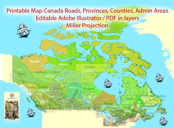
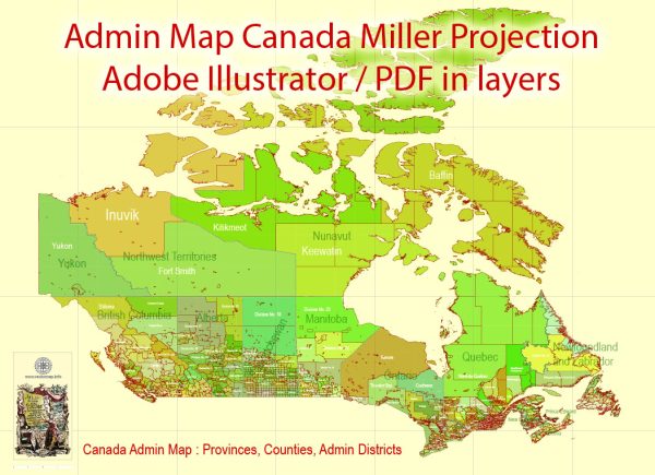
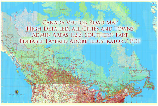
Canada is a vast country with diverse climates, and its climate varies significantly from region to region. The country’s climate is influenced by its immense size, its proximity to oceans, and its varying topography. Here is a general overview of Canada’s climate:
- Arctic Climate: Northern Canada, including the territories of Yukon, Northwest Territories, and Nunavut, experiences an Arctic climate. Winters are long and extremely cold, with temperatures often dropping well below freezing. Summers are short and cool, with average temperatures rarely rising above 10°C (50°F).
- Subarctic Climate: The northern parts of the provinces of British Columbia, Alberta, Saskatchewan, Manitoba, Ontario, and Quebec also have a subarctic climate. Winters are cold, with heavy snowfall, while summers are generally short and warm but not hot.
- Maritime Climate: Coastal regions, especially in British Columbia and the Atlantic provinces (Newfoundland and Labrador, Prince Edward Island, Nova Scotia, and New Brunswick), experience a maritime climate. This climate is characterized by mild, wet winters and cool, comfortable summers. Precipitation is relatively evenly distributed throughout the year.
- Continental Climate: Much of central and eastern Canada, including the prairie provinces (Alberta, Saskatchewan, and Manitoba) and parts of Ontario and Quebec, have a continental climate. This means that winters are cold and snowy, while summers can be hot and humid. There is a larger temperature difference between seasons compared to the maritime regions.
- Mountain Climate: In the Canadian Rockies and other mountainous areas, you’ll find a mountain climate. This leads to colder temperatures at higher elevations, significant snowfall in the winter, and milder conditions in the valleys during the summer.
- Prairie Climate: The prairie provinces (Alberta, Saskatchewan, and Manitoba) have a relatively dry climate with hot summers and cold winters. This region is known for its wide temperature variations between day and night.
- Temperate Climate: The southern parts of Ontario and Quebec, as well as parts of British Columbia, have a temperate climate. This means milder winters and warm summers with a more moderate temperature range compared to the continental climate regions.
- Northern Climate: The northern parts of Ontario and Quebec, as well as the northern regions of the maritime provinces, have a climate that shares characteristics of both subarctic and maritime climates. Winters are cold, and summers are cooler than in the south.
It’s important to note that Canada is known for its extreme weather conditions, and there can be significant variations within these broad climate categories. Canadians are well-equipped to handle their diverse climate, and it often plays a significant role in the country’s culture and activities.


 Author: Kirill Shrayber, Ph.D. FRGS