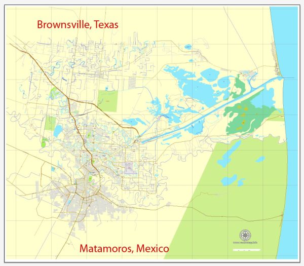
Brownsville, Texas, and Matamoros, Mexico, are neighboring cities located along the U.S.-Mexico border, and they share a unique cultural and historical connection. Some of the most famous streets in these cities include:
In Brownsville, Texas:
- Elizabeth Street: This street is known for its historic buildings and vibrant culture. It hosts various events, including the Charro Days Fiesta, which celebrates the Mexican and American cultural fusion in the region.
- International Boulevard: International Boulevard is a major thoroughfare that runs parallel to the border, connecting Brownsville to Matamoros. It’s significant due to its role in cross-border trade and cultural exchange.
In Matamoros, Mexico:
- Calle Sexta (6th Street): Calle Sexta is one of the most famous streets in Matamoros, known for its nightlife, restaurants, and bars. It’s a popular destination for both locals and tourists.
- Avenida Alvaro Obregón: This avenue is another popular destination in Matamoros, featuring numerous restaurants, shops, and cultural attractions.
- Calle Morelos: Calle Morelos is a historic street in Matamoros, known for its colonial-era architecture and cultural significance.
These streets showcase the unique blend of Mexican and American cultures in the border region and offer a rich and diverse experience for those who visit. Keep in mind that the popularity of specific streets may change over time, so it’s a good idea to check for any recent updates or recommendations if you plan to visit these areas.


 Author: Kirill Shrayber, Ph.D. FRGS