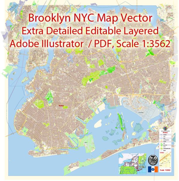
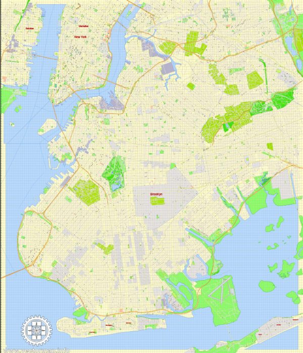
Brooklyn, New York has a rich history that dates back to its founding in the 17th century. Here is a brief overview of the history of Brooklyn’s creation:
- Early Dutch Settlement: The history of European settlement in Brooklyn begins in the early 17th century when it was first settled by the Dutch. The area was originally known as “Breuckelen” after a town in the Netherlands. The Dutch West India Company established a trading post in the area in 1636.
- English Control: In 1664, the English captured the Dutch colony of New Netherland, including Brooklyn, and it became a part of the English colony of New York. The English Anglicized the name to “Brooklyn.”
- Growth and Development: In the 19th century, Brooklyn experienced significant growth and development. It became a bustling port city and a major industrial center. The construction of the Brooklyn Bridge in the late 19th century connected Brooklyn to Manhattan, further fueling its growth.
- Consolidation with New York City: Brooklyn remained an independent city until 1898 when it, along with several other surrounding municipalities, was consolidated into the newly formed Greater New York City. This consolidation created the five boroughs of New York City, and Brooklyn became one of them.
- 20th Century and Beyond: Brooklyn continued to evolve in the 20th century. It was known for its diverse immigrant communities and its contributions to culture, including the development of hip-hop and the presence of influential artists and writers. However, it also faced challenges, including economic decline in some areas.
- Modern Revival: In recent decades, Brooklyn has undergone a revival. Gentrification has transformed many neighborhoods, and it has become a hub for arts, culture, and technology. Brooklyn is known for its unique neighborhoods, thriving restaurant scenes, and a strong sense of community.
Today, Brooklyn is a diverse and dynamic part of New York City, known for its history, culture, and contributions to the arts and society. It has a distinctive character and identity that sets it apart from the other boroughs of the city.


 Author: Kirill Shrayber, Ph.D. FRGS