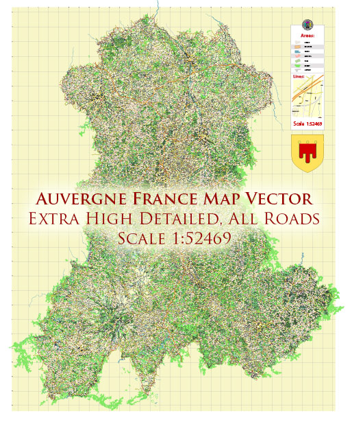
The Auvergne region in France, located in the central part of the country, has a railway system that is part of the broader French railway network managed by the French national railway company, SNCF (Société Nationale des Chemins de fer Français). The railway system in Auvergne serves both passenger and freight transportation needs.
Key cities and towns in Auvergne with railway connections include Clermont-Ferrand, Vichy, Aurillac, and Montluçon. Clermont-Ferrand is the largest city in the region and serves as a major transportation hub.
Here are some key aspects of the railway system in Auvergne:
- High-Speed Rail (TGV): The Auvergne region is accessible via the high-speed TGV (Train à Grande Vitesse) network, which connects major French cities. The TGV line from Paris to Clermont-Ferrand provides a fast and efficient way to reach the region.
- Regional Trains (TER): The TER (Transport Express Régional) network serves Auvergne with numerous regional train lines connecting smaller towns and cities within the region and providing access to neighboring regions.
- Scenic Railways: Auvergne is known for its picturesque landscapes, including the Massif Central, and several scenic train routes take travelers through beautiful areas. The Cévenol line, for example, offers breathtaking views of the Cévennes Mountains.
- Freight Transport: The railway system in Auvergne also plays a crucial role in freight transportation, connecting industries and businesses within the region to other parts of France and Europe.
- Modernization and Upgrades: As of my last knowledge update in September 2021, the French government and SNCF were continuously working on modernizing and upgrading the railway infrastructure to improve efficiency, safety, and sustainability. This may include electrification, double-tracking, and other enhancements.
Please note that the information may have evolved since my last update in 2021, and it’s advisable to check with local authorities or the official SNCF website for the latest information on the Auvergne railway system, including schedules, routes, and any recent developments.


 Author: Kirill Shrayber, Ph.D. FRGS