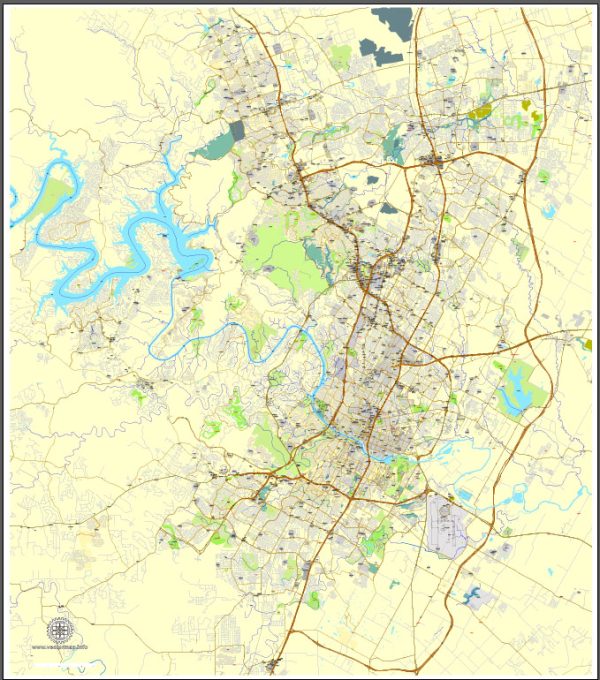
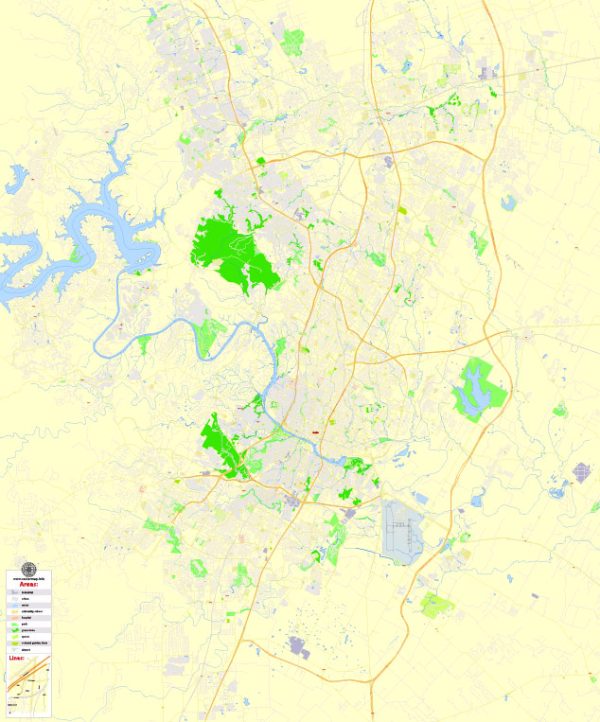
Here is a brief description of each of the 10 city council districts in Austin, Texas:
- District 1 – Northwest Austin: This district covers parts of northwest Austin and includes neighborhoods like Anderson Mill, Milwood, and parts of Great Hills. It’s known for its suburban character and proximity to the Texas Hill Country.
- District 2 – Central East Austin: District 2 includes the central and eastern parts of Austin, known for its diverse population and vibrant culture. It covers neighborhoods like East Cesar Chavez, Rosewood, and Holly.
- District 3 – Southeast Austin: This district encompasses the southeastern portion of the city, including neighborhoods like Dove Springs, Riverside, and Montopolis. It’s a mix of residential areas and industrial zones.
- District 4 – Northeast Austin: District 4 is located in the northeastern part of Austin and includes neighborhoods such as Windsor Park, Mueller, and Highland. It’s known for its commercial developments and modern urban planning.
- District 5 – South Central Austin: District 5 is situated in south-central Austin and includes neighborhoods like South Congress, St. Edwards, and Bouldin Creek. It’s known for its diverse culture, including food and music scenes.
- District 6 – Northwest Austin: This district covers parts of northwest Austin, including neighborhoods like Jollyville, the Four Points area, and Anderson Mill. It’s primarily residential with some commercial developments.
- District 7 – North Central Austin: District 7 encompasses the north-central part of Austin and includes neighborhoods such as Crestview, North Loop, and Allandale. It’s a mix of residential and commercial areas.
- District 8 – West Austin: District 8 covers western and southwestern parts of Austin and includes neighborhoods like West Lake Hills and Barton Creek. It’s known for its affluence and beautiful natural surroundings.
- District 9 – South Austin: This district is located in south Austin and includes neighborhoods like Zilker, South Lamar, and Circle C Ranch. It’s known for its mix of residential areas, parks, and cultural attractions.
- District 10 – West and Southwest Austin: District 10 includes areas in the western and southwestern parts of Austin, including neighborhoods like Tarrytown and Oak Hill. It’s known for its mix of suburban and semi-rural characteristics.


 Author: Kirill Shrayber, Ph.D. FRGS