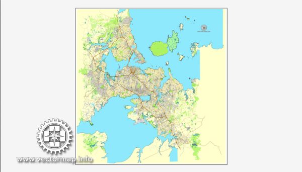
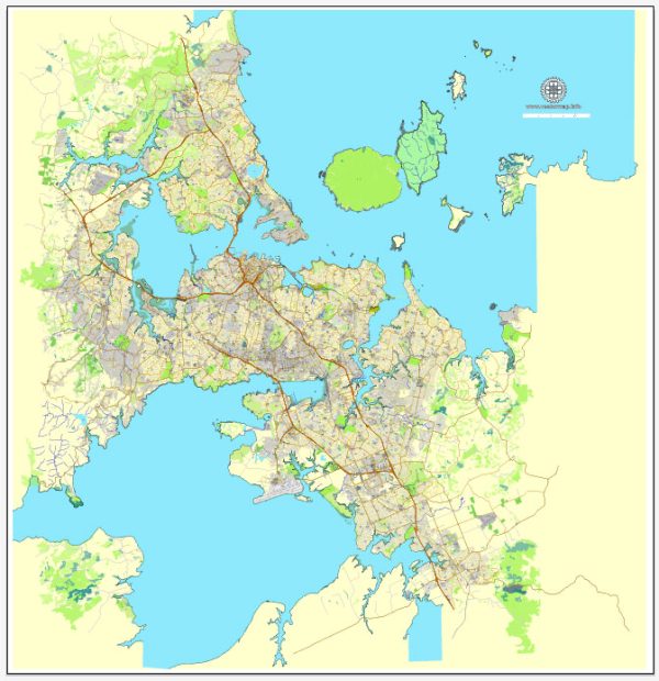
Auckland, New Zealand, is known for its stunning natural landscapes and numerous water resources, making it a city built around harbors, rivers, and the Hauraki Gulf. Here’s some information about Auckland’s water resources and bridges:
Water Resources:
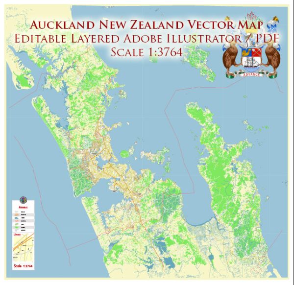
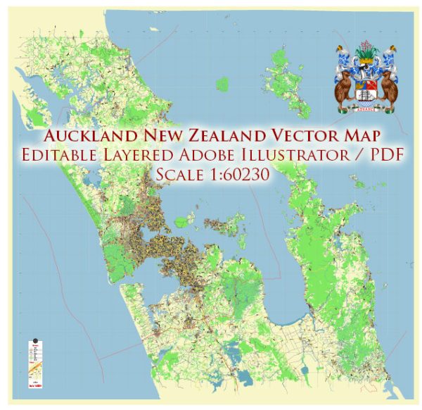
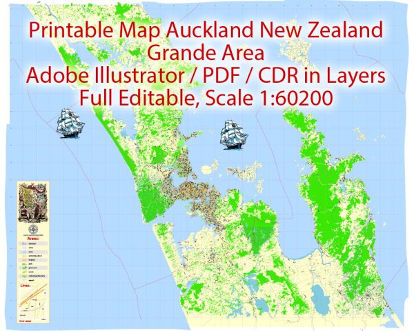
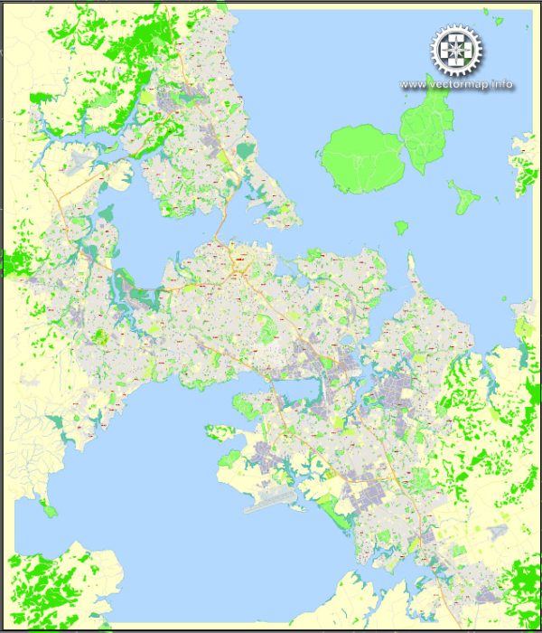
- Waitematā Harbour: This is one of Auckland’s two major harbors and is located on the eastern side of the city. It plays a significant role in Auckland’s maritime history and is a popular spot for boating and waterfront activities.
- Manukau Harbour: Located on the western side of Auckland, Manukau Harbour is the other major harbor. It’s known for its large estuary and is an essential part of the city’s landscape.
- Hauraki Gulf: Auckland’s eastern boundary is formed by the Hauraki Gulf. This stunning marine area is dotted with islands, and it’s a popular destination for sailing, fishing, and wildlife watching.
- Waikato River: This major river flows through the Waikato region and feeds into the Tasman Sea on the west coast of New Zealand’s North Island. It plays a crucial role in the region’s water resources and has a notable influence on Auckland.
- Auckland’s Lakes: The region has several lakes, including Lake Pupuke on the North Shore, which provides a recreational area and water supply for the city.
Bridges:
- Auckland Harbour Bridge: The Auckland Harbour Bridge is one of the city’s most iconic landmarks. It connects the North Shore with the Auckland isthmus and spans across Waitematā Harbour. It’s a crucial transportation link for the city.
- Manukau Harbour Bridge: This bridge connects Auckland’s southern suburbs with the western areas of the city and provides a crucial link across the Manukau Harbour.
- Queen Street Bridge: Located in the heart of the city, this bridge crosses the Waihorotiu Stream and provides a gateway to Auckland’s central business district.
- Grafton Bridge: Connecting Auckland’s Central Business District with the suburb of Grafton, this bridge is an important link for commuters and pedestrians.
- Te Wero Bridge: Found on the Auckland waterfront, this pedestrian bridge connects Viaduct Harbour with Wynyard Quarter and plays a role in the city’s vibrant waterfront precinct.
These water resources and bridges contribute to the unique character of Auckland and serve both practical and recreational purposes for the city’s residents and visitors. They play a significant role in transportation, commerce, and tourism in the region.

 Author: Kirill Shrayber, Ph.D. FRGS