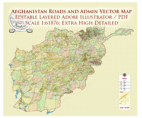
Afghanistan’s road system is an essential component of its transportation infrastructure, serving as the primary means of connecting cities, towns, and remote areas across the country. The road network in Afghanistan has historically faced significant challenges due to decades of conflict, natural disasters, and limited resources for maintenance and development. As of my last knowledge update in September 2021, here is an overview of Afghanistan’s road system:
- Kabul-Kandahar Highway: The Kabul-Kandahar Highway is one of the most important roads in Afghanistan, connecting the capital city, Kabul, to the southern city of Kandahar. It is a major transportation route for both people and goods.
- Ring Road: The Afghanistan Ring Road is a significant highway that connects major cities in the country, including Kabul, Kandahar, Herat, and Mazar-e-Sharif. It is essential for facilitating trade and transportation across the country.
- Salang Pass Tunnel: The Salang Pass Tunnel is a vital mountain pass tunnel that connects northern Afghanistan with the capital, Kabul. It passes through the Hindu Kush mountain range and is critical for maintaining access to the northern regions.
- Secondary Roads: Afghanistan has a network of secondary and tertiary roads that connect smaller towns and villages to the major cities. Many of these roads are unpaved or in poor condition.
- Border Crossings: Afghanistan shares borders with several countries, and there are border crossings that facilitate international trade and travel. These include crossings with Pakistan, Iran, Turkmenistan, Uzbekistan, and Tajikistan.
- Rural and Remote Roads: Many remote and rural areas in Afghanistan lack proper road infrastructure, which can make transportation difficult, particularly during adverse weather conditions.
It’s important to note that Afghanistan’s road infrastructure has been severely affected by the long-standing conflict and political instability in the region. Road maintenance and development projects have often been disrupted, and there have been security concerns for travelers and transportation of goods.


 Author: Kirill Shrayber, Ph.D. FRGS