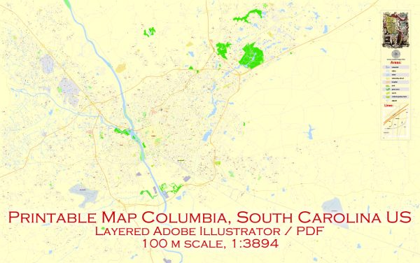
Columbia, South Carolina has several principal streets that are important for transportation and landmarks. Some of the major streets in the city include:
- Main Street: As the name suggests, Main Street is one of the primary thoroughfares in downtown Columbia. It’s lined with shops, restaurants, and cultural attractions.
- Gervais Street: Gervais Street runs parallel to Main Street and is known for its nightlife and dining options. The Congaree Vista district, which is home to many restaurants and art galleries, is located along Gervais Street.
- Assembly Street: Assembly Street is another important downtown thoroughfare and is home to the University of South Carolina and the State House. It’s a major route for both residents and visitors.
- Blossom Street: Blossom Street is located near the University of South Carolina’s campus and is known for its proximity to student housing and amenities.
- Huger Street: Huger Street is a major north-south road in Columbia and is an important route for getting around the city.
- Devine Street: Devine Street is a popular shopping and dining district in the city, featuring a variety of boutiques, restaurants, and cafes.
- Beltline Boulevard: Beltline Boulevard is an important road that encircles the city, providing access to various neighborhoods and commercial areas.
- Two Notch Road: Two Notch Road is a major commercial corridor in Columbia, offering a wide range of retail and dining options.
- Forest Drive: Forest Drive is known for its shopping centers, restaurants, and various businesses, and it’s a key east-west route.
- Hardin Street: Hardin Street is located near the Five Points neighborhood, known for its vibrant nightlife and entertainment options.
- Shop Road: Shop Road is an industrial area and an important route for transportation to the southeastern parts of the city.
These are some of the principal streets in Columbia, and they play a crucial role in the city’s transportation network and are often lined with a variety of businesses and attractions.


 Author: Kirill Shrayber, Ph.D. FRGS