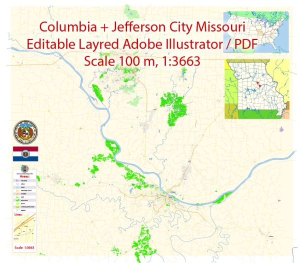
Columbia and Jefferson City are two prominent cities in the state of Missouri, USA. Both cities are located along the Missouri River and are part of the state’s network of water resources and bridges. Here’s some information about the water resources and bridges in this region:
Missouri River:
- Columbia: The city of Columbia is situated to the west of the Missouri River. The river serves as a vital water resource for the region, providing a source of freshwater for various purposes, including drinking water and recreation. The city has a water treatment plant to supply clean water to its residents.
- Jefferson City: As the capital of Missouri, Jefferson City is located on the northern banks of the Missouri River. The river is a significant waterway for transportation and commerce in the region.
Bridges:
- Columbia: There are several bridges in and around Columbia that span various waterways and allow for the movement of people and goods. Some notable bridges include the I-70 bridges that cross the Missouri River to the north of the city. These bridges are crucial for connecting Columbia to other parts of the state and the country.
- Jefferson City: The city of Jefferson City has several bridges that cross the Missouri River and connect the city to surrounding areas. The Missouri State Capitol building, an iconic structure in Jefferson City, is situated near the river, and there are bridges connecting it to both the north and south banks of the river.
The Missouri Department of Transportation (MoDOT) is responsible for the maintenance and management of bridges and roadways in the state, including those in Columbia and Jefferson City.
Both cities are significant in terms of transportation and infrastructure in the state of Missouri, and the water resources and bridges play a critical role in supporting the local economy and the daily lives of residents.


 Author: Kirill Shrayber, Ph.D. FRGS