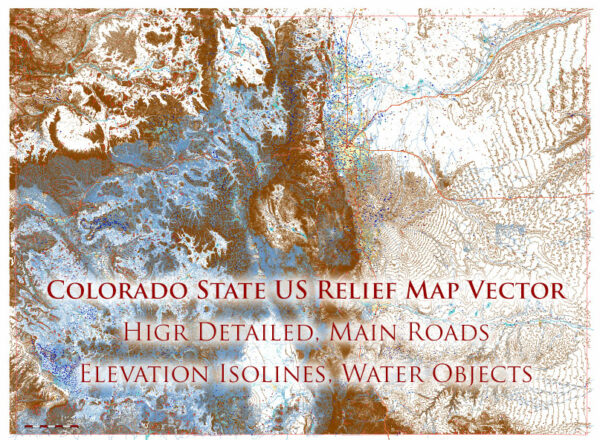
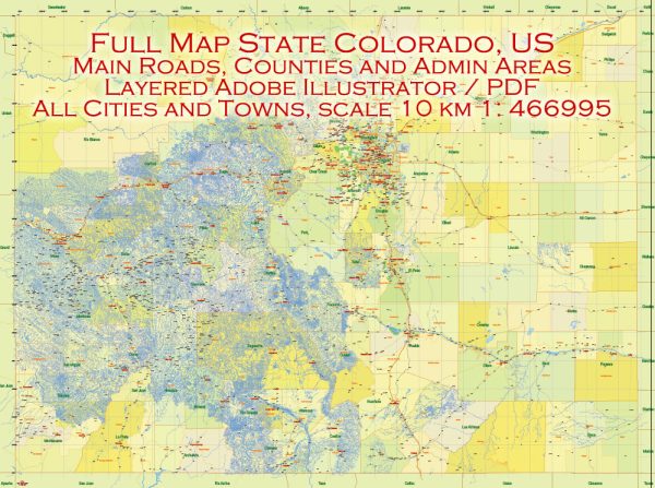
Colorado has an extensive network of highways and roads that connect various cities and regions within the state. Some of the principal roads and highways in Colorado include:
- Interstate 25 (I-25): This north-south interstate runs through the heart of Colorado, connecting Denver, Colorado Springs, Pueblo, and Fort Collins. It is one of the busiest highways in the state.
- Interstate 70 (I-70): I-70 is a major east-west interstate that stretches from the Kansas border in the east to the Utah border in the west. It passes through Denver, Boulder, Vail, and other notable cities and offers access to the Rocky Mountains.
- Interstate 76 (I-76): I-76 runs northeast from Denver to the Nebraska border and provides a route to the Great Plains region.
- Interstate 270 (I-270): A short interstate that connects I-70 to I-76 in the Denver metropolitan area.
- U.S. Highway 6 (US 6): Also known as the Grand Army of the Republic Highway, US 6 is a transcontinental highway that passes through Colorado and connects many towns and cities, including Denver and Golden.
- U.S. Highway 40 (US 40): US 40 traverses Colorado from the Kansas border to the Utah border and offers access to many mountain communities and ski resorts.
- U.S. Highway 50 (US 50): Known as the “Loneliest Road in America,” US 50 cuts across southern Colorado, connecting cities like Pueblo, Canon City, and Montrose.
- U.S. Highway 285 (US 285): This highway runs from the New Mexico border in the south to the Wyoming border in the north, passing through cities such as Alamosa and Salida.
- U.S. Highway 34 (US 34): US 34 provides access to Estes Park and Rocky Mountain National Park in northern Colorado.
- State Highway 36 (SH 36): SH 36 connects Denver to Boulder, providing a direct route between the two cities.
- State Highway 82 (SH 82): SH 82 is a key route that connects the cities of Aspen and Glenwood Springs through the scenic Roaring Fork Valley.
- State Highway 93 (SH 93): SH 93 runs through the Front Range region, connecting Golden, Boulder, and other cities.
These are some of the principal roads and highways in Colorado, and they play a crucial role in facilitating transportation and travel within the state. Keep in mind that Colorado’s road network is extensive, and there are many other state and county roads that provide access to various destinations throughout the state. Road conditions, routes, and accessibility may change over time, so it’s advisable to check for the latest information and updates if you plan to travel in Colorado.


 Author: Kirill Shrayber, Ph.D.