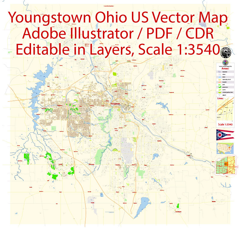
Youngstown, Ohio, is known for its diverse architectural history, which reflects its industrial past and subsequent urban development. Here’s an overview of the architectural styles and landmarks you can find in Youngstown:
- Historic Architecture: Youngstown’s historic architecture includes a range of styles from the late 19th and early 20th centuries, reflecting its growth during the industrial revolution. You can find well-preserved examples of Italianate, Victorian, and Greek Revival architecture, especially in older neighborhoods like Wick Park and the North Side.
- Steel Industry Influence: The city’s history is closely tied to the steel industry, and some industrial buildings remain as a testament to this era. The iconic Brier Hill Works steel mill, although no longer in operation, stands as a reminder of the city’s industrial past.
- Art Deco: Youngstown has several Art Deco-style buildings dating from the 1920s and 1930s. The Mahoning County Courthouse is a prominent example of this architectural style, featuring elegant geometric patterns and sleek lines.
- Mid-Century Modern: As Youngstown grew in the mid-20th century, mid-century modern architecture gained prominence. You can find residential homes and commercial buildings designed in this style with clean lines, large windows, and a focus on functionality.
- Religious Buildings: The city has a variety of religious institutions, each with its unique architectural style. St. Columba Cathedral, for example, features stunning Gothic Revival architecture, while St. Patrick Church is a fine example of Romanesque Revival.
- Campus Architecture: Youngstown State University’s campus showcases modern and contemporary architecture, with buildings like the DeBartolo Stadium and the Andrews Student Recreation and Wellness Center representing a departure from historical styles.
- Historic Districts: Wick Park Historic District and the Idora Neighborhood are notable for their collection of well-preserved historic homes and buildings. These areas provide a glimpse into the city’s architectural past.
- Modern Developments: Recent urban revitalization efforts have led to modern developments that incorporate a mix of architectural styles. Downtown Youngstown, in particular, has seen the construction of new condominiums, office buildings, and green spaces, contributing to the city’s evolving architectural landscape.
- Bridges and Viaducts: Youngstown’s geography, with the Mahoning River running through it, has led to the construction of various bridges and viaducts. Some of these, like the Market Street Bridge, are notable for their architecture and have become iconic symbols of the city.
- Public Art: In addition to traditional architecture, you can find various public art installations and sculptures throughout the city, adding a creative and artistic dimension to Youngstown’s urban landscape.
Overall, Youngstown’s architecture is a mix of historical and contemporary styles, reflecting the city’s evolving character. It’s a place where you can find evidence of its industrial heritage while also witnessing the transformation and modernization of the urban environment.


 Author: Kirill Shrayber, Ph.D. FRGS