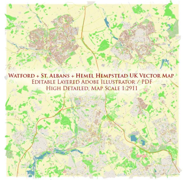
Watford, St Albans, and Hemel Hempstead are towns located in Hertfordshire, UK, and they each offer a unique blend of urban and natural landscapes. Here’s a brief description of the natural features and outdoor opportunities you can find in these areas:
- Watford:
- Cassiobury Park: Watford’s largest park, Cassiobury Park, is a green oasis in the town. It features a range of amenities, including woodlands, a canal, and a play area.
- The Grand Union Canal: The canal passes through Watford, offering picturesque walking and cycling routes along its banks.
- St Albans:
- Verulamium Park: This park is home to the historic Verulamium, an ancient Roman town, and features lakes, meadows, and a river, making it a beautiful spot for picnics and leisurely walks.
- Heartwood Forest: Located a short drive from St Albans, Heartwood Forest is an expansive woodland with a network of trails, perfect for hiking and exploring.
- Hemel Hempstead:
- Gadebridge Park: This park offers a mix of natural beauty and recreational facilities, with woodlands, a river, and sports amenities.
- Boxmoor: The Boxmoor area of Hemel Hempstead provides scenic walks along the Grand Union Canal and through green spaces.
All three towns benefit from their proximity to the Chiltern Hills, an Area of Outstanding Natural Beauty. The Chilterns offer opportunities for more extensive outdoor activities like hiking and biking. Additionally, they are well-connected to London and other parts of Hertfordshire, making it easy to access even more natural attractions in the region.
While these towns are primarily urban in nature, they provide residents and visitors with pockets of green spaces and natural beauty to enjoy, as well as easy access to the surrounding countryside for those seeking a more extensive outdoor experience.


 Author: Kirill Shrayber, Ph.D. FRGS