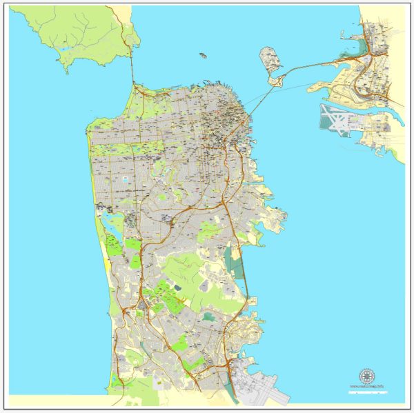
San Francisco, California, has a comprehensive public transportation system that includes various modes of transportation to help residents and visitors navigate the city efficiently. Here are some of the key components of San Francisco’s transportation system:
- Bay Area Rapid Transit (BART): BART is a regional commuter rail system that connects San Francisco to neighboring cities in the Bay Area, including Oakland and Berkeley. It is a convenient way to travel within the region.
- Muni (San Francisco Municipal Transportation Agency): Muni operates a network of buses, trolleys, and light rail lines throughout San Francisco. It’s the primary mode of public transportation within the city. The iconic San Francisco cable cars are also operated by Muni.
- Caltrain: Caltrain is a commuter rail system connecting San Francisco with cities further south on the San Francisco Peninsula, including San Jose. It’s particularly popular for people who need to commute to Silicon Valley.
- Golden Gate Transit: This bus and ferry system serves Marin County and parts of Sonoma County to the north of San Francisco. The Golden Gate Bridge Highway and Transportation District operate these services.
- Ferries: San Francisco is located along the bay, and several ferry services run to various destinations, including Alcatraz Island, Sausalito, Tiburon, and Oakland.
- SamTrans: San Mateo County Transit District operates SamTrans buses, which serve San Francisco’s southern neighbors, such as Daly City and San Mateo.
- Taxis and Ride-Sharing: Taxis and ride-sharing services like Uber and Lyft are readily available in San Francisco for convenient point-to-point transportation.
- Cycling: San Francisco has a growing network of bike lanes and bike-sharing programs, making it bike-friendly. The city also has hilly terrain, which can be challenging for some cyclists.
- Walking: San Francisco is known for its walkable neighborhoods, and many residents and tourists choose to explore the city on foot.
- Parking: Parking can be expensive and limited in some parts of the city. Many people use public transportation or ride-sharing services instead of driving in congested areas.
- Traffic and Congestion Pricing: San Francisco has implemented congestion pricing in certain areas, such as downtown, to reduce traffic and encourage the use of public transportation. Be aware of tolls and restricted zones.
- Airport Transportation: San Francisco International Airport (SFO) is well-connected to the city by BART, SamTrans buses, and various airport shuttle services.
It’s worth noting that the transportation system in San Francisco is continually evolving to address the city’s unique challenges and growing population. Make sure to check for the latest updates and transportation options when planning your visit or daily commute in San Francisco.


 Author: Kirill Shrayber, Ph.D. FRGS