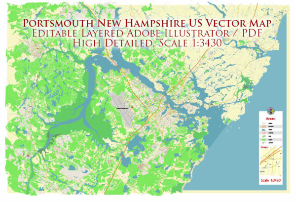
Portsmouth, New Hampshire, is a historic city located along the Piscataqua River and the Atlantic Ocean. It has several water resources and bridges that play a crucial role in the city’s transportation and access to waterways. Here are some key water resources and bridges in Portsmouth:
- Piscataqua River: The Piscataqua River is a major water resource that flows through Portsmouth. It forms the natural border between New Hampshire and Maine and is known for its historic significance and importance for trade and transportation.
- Memorial Bridge: The Memorial Bridge is one of the iconic bridges in Portsmouth. It connects Portsmouth, New Hampshire, and Kittery, Maine, spanning the Piscataqua River. The current bridge is a lift bridge, which replaced an earlier bridge of the same name that was demolished in 2012.
- Sarah Mildred Long Bridge: This is another important bridge in the area, connecting Portsmouth and Kittery. The Sarah Mildred Long Bridge is a vertical lift bridge that allows for the passage of tall vessels beneath it.
- I-95 Bridge: Interstate 95, a major highway on the East Coast, crosses the Piscataqua River through a bridge connecting Portsmouth with Kittery and the surrounding areas. This bridge is a vital transportation link for both commuters and long-distance travelers.
- Sagamore Creek: Sagamore Creek is a small tidal inlet located in Portsmouth. It provides recreational opportunities and is an essential part of the local environment.
- Great Bay: While not directly within Portsmouth city limits, Great Bay is a significant water resource in the region. It is an estuary that supports various wildlife and is popular for boating and fishing.
- North Mill Pond: North Mill Pond is an inland body of water in Portsmouth. It has a causeway and park along its edge, providing a scenic spot for residents and visitors to enjoy.
- South Mill Pond: South Mill Pond is another water resource within the city, offering opportunities for recreation and scenic views.
These water resources and bridges not only contribute to the city’s beauty and recreational opportunities but also play a vital role in the transportation, commerce, and history of Portsmouth, New Hampshire.


 Author: Kirill Shrayber, Ph.D. FRGS