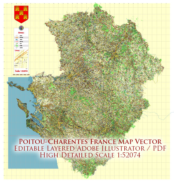
The Poitou-Charentes region, located in western France, is known for its diverse water resources and a variety of bridges. Here is some information about water resources and bridges in the Poitou-Charentes region:
Water Resources:
- Rivers: The region is home to several major rivers, including the Charente River, the Seudre River, and the Sèvre Niortaise River. These rivers provide water for various purposes, including agriculture, transportation, and recreation.
- Estuaries: The coastline of Poitou-Charentes features numerous estuaries, such as the Gironde Estuary, where freshwater rivers meet the Atlantic Ocean. These estuaries play a crucial role in supporting local ecosystems and are often used for oyster farming.
- Lakes and Ponds: There are several lakes and ponds throughout the region, many of which are used for recreational activities like swimming and fishing. Lac de Vassivière and Lac du Lambon are popular examples.
Bridges:
- Pont Transbordeur de Rochefort: This historic transporter bridge in Rochefort, Charente-Maritime, is a remarkable bridge that was constructed in the early 20th century. It was used to transport passengers and cargo across the Charente River.
- Viaduc de Rochefort: This viaduct is another notable bridge in Rochefort, which spans the Charente River. It is an important transportation route in the region.
- Pont de l’Île de Ré: The Île de Ré, connected to the mainland by this bridge, is a popular tourist destination known for its beautiful landscapes and beaches. The bridge is a crucial link for both residents and tourists.
- Various Other Bridges: In addition to these prominent bridges, you can find many other bridges throughout the Poitou-Charentes region, ranging from small footbridges in picturesque villages to larger road and rail bridges that facilitate transportation.
The water resources and bridges in the Poitou-Charentes region contribute to the region’s economic activities, tourism, and overall quality of life for its residents.


 Author: Kirill Shrayber, Ph.D. FRGS