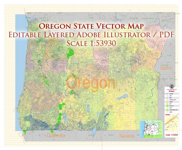
Oregon has a well-developed transportation system that includes various modes of transportation to serve the needs of its residents and visitors. Here are some key components of the Oregon State transport system:
- Roads and Highways: Oregon has an extensive network of roads and highways, including several major interstates and scenic byways. Interstate 5 (I-5) runs north-south through the state, connecting cities like Portland, Salem, and Medford. Interstate 84 (I-84) runs east-west, following the Columbia River Gorge. The state also has various state highways and scenic routes.
- Public Transit: In urban areas like Portland, Eugene, and Salem, public transit systems are in place. TriMet operates Portland’s public transit system, which includes buses, light rail, and commuter rail (MAX and WES). Other cities have their transit agencies.
- Rail Transportation: Amtrak provides passenger rail service in Oregon, connecting cities like Portland, Eugene, and Klamath Falls to other parts of the country. Freight rail also plays a crucial role in transporting goods in and out of the state.
- Airports: Oregon has several airports, with Portland International Airport (PDX) being the largest and busiest. Other major airports include Eugene Airport (EUG), Rogue Valley International-Medford Airport (MFR), and Redmond Municipal Airport (RDM). These airports serve domestic and international flights.
- Ports: The Port of Portland is a major gateway for international trade, handling cargo shipments and facilitating access to the Pacific Ocean. Other ports along the Columbia River, like the Port of Astoria, also play a role in the state’s commerce.
- Bicycling: Oregon is known for its bicycle-friendly infrastructure, particularly in cities like Portland. There are numerous bike lanes, paths, and dedicated cycling routes throughout the state.
- Maritime Transportation: The state’s coastline and proximity to the Pacific Ocean make maritime transportation an essential component of Oregon’s transport system. Ports like the Port of Portland and the Port of Coos Bay handle goods transported by sea.
- Bridges: Oregon is home to many iconic bridges, including the St. Johns Bridge in Portland, the Yaquina Bay Bridge in Newport, and the Rogue River Bridge in Gold Beach. These bridges are essential for connecting different regions of the state.
- Public Transportation Services: Oregon offers various public transportation services, including buses and shuttles in both urban and rural areas. These services help connect residents and visitors to different parts of the state.
- Cycling and Walking Paths: In addition to its road network, Oregon has an extensive system of cycling and walking paths. Many cities and towns have developed infrastructure to promote active transportation and reduce traffic congestion.
The Oregon Department of Transportation (ODOT) is responsible for overseeing and maintaining much of the state’s transportation infrastructure. They work to ensure the safety and efficiency of Oregon’s transport system, as well as promoting sustainable and alternative transportation options.
Please note that specific details of the transportation system can change over time, so it’s a good idea to check with local authorities and transportation agencies for the most up-to-date information and resources.


 Author: Kirill Shrayber, Ph.D. FRGS