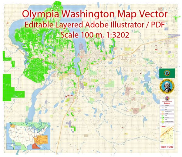
Olympia, Washington, is the capital city of the state and has a well-organized street grid. Some of the principal streets and avenues in Olympia include:
- Capitol Way: This is the main north-south thoroughfare in downtown Olympia and is home to many shops, restaurants, and government buildings.
- 4th Avenue: Running parallel to Capitol Way, 4th Avenue is another important downtown street.
- State Avenue: Located in the heart of downtown, State Avenue intersects with Capitol Way and 4th Avenue, providing access to various businesses and government offices.
- Pacific Avenue: This street runs through downtown and is lined with shops, restaurants, and cultural attractions.
- Martin Way: A major east-west road that extends through Olympia and beyond, providing access to shopping centers, businesses, and residential areas.
- Harrison Avenue: Running parallel to Martin Way, Harrison Avenue is another important east-west street in Olympia.
- Plum Street: Plum Street intersects with Capitol Way and serves as an access point to the downtown core.
- Union Avenue: Another key north-south road in Olympia that connects various neighborhoods and commercial areas.
- Henderson Boulevard: Located in the western part of the city, Henderson Boulevard is a significant road connecting the westside neighborhoods and commercial districts.
- Lilly Road: This road runs through the northern part of Olympia, providing access to residential neighborhoods and schools.
These are some of the principal streets and avenues in Olympia, but there are many more streets and roads that make up the city’s transportation network. Olympia is known for its pedestrian-friendly downtown area, making it easy for residents and visitors to explore the city on foot.


 Author: Kirill Shrayber, Ph.D. FRGS