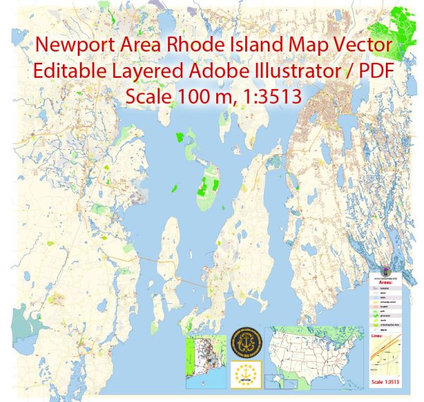
Newport, Rhode Island, is a historic city with a well-defined street grid. Some of the principal streets and avenues in Newport include:
- Thames Street: This is one of the main thoroughfares in Newport and runs parallel to the waterfront. It’s known for its shops, restaurants, and historic buildings.
- Bellevue Avenue: This famous avenue is lined with stunning Gilded Age mansions, many of which are now museums or historic landmarks.
- Spring Street: Spring Street intersects Bellevue Avenue and is known for its historic architecture and shops.
- America’s Cup Avenue: This street runs along the waterfront and is home to numerous shops and restaurants.
- Memorial Boulevard: Memorial Boulevard offers beautiful views of the waterfront and has several parks, including King Park and Morton Park.
- Broadway: Broadway is another commercial street with shops, dining, and a vibrant atmosphere.
- Kay Street: Kay Street is known for its historic homes and tree-lined beauty.
- Van Zandt Avenue: This street is located in the southern part of Newport and offers a mix of residential and commercial properties.
- Carroll Avenue: Carroll Avenue is also located in the southern part of Newport, and it runs near the Newport Country Club.
- Spring Street: Spring Street is home to various shops, eateries, and historic homes.
- Harrison Avenue: Harrison Avenue is located in the northern part of Newport and offers access to the scenic Easton’s Beach.
These are some of the principal streets in Newport, but the city is known for its many charming and historic streets, so exploring the area is a great way to experience its unique character.


 Author: Kirill Shrayber, Ph.D. FRGS