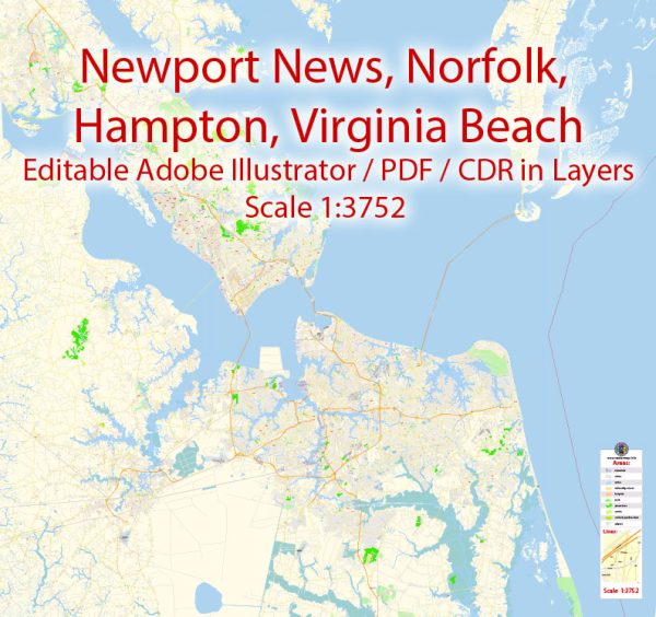
Newport News, Norfolk, Virginia Beach, and Hampton are cities located in the Hampton Roads region of Virginia, and each of them has a network of principal streets and thoroughfares. While I can provide you with some of the main streets in each of these cities, please note that these lists are not exhaustive and may change over time. Here are some of the principal streets in these cities:
Newport News, Virginia:
- Warwick Boulevard
- Jefferson Avenue
- J. Clyde Morris Boulevard
- Denbigh Boulevard
- Oyster Point Road
- Fort Eustis Boulevard
- Harpersville Road
- Bland Boulevard
- Huntington Avenue
- Warwick Denbigh Shopping Center
Norfolk, Virginia:
- Granby Street
- Tidewater Drive
- Waterside Drive
- St. Paul’s Boulevard
- Hampton Boulevard
- Military Highway
- Virginia Beach Boulevard
- Princess Anne Road
- Colley Avenue
- Monticello Avenue
Virginia Beach, Virginia:
- Atlantic Avenue
- Pacific Avenue
- Virginia Beach Boulevard
- Shore Drive
- Independence Boulevard
- General Booth Boulevard
- Dam Neck Road
- Laskin Road
- Lynnhaven Parkway
- Princess Anne Road
Hampton, Virginia:
- Mercury Boulevard
- Kecoughtan Road
- King Street
- Armistead Avenue
- Pembroke Avenue
- LaSalle Avenue
- Settlers Landing Road
- Big Bethel Road
- Fox Hill Road
- W. Queen Street
Please note that these cities have many more streets and roadways, and this list covers only some of the main ones. The road network in each city is quite extensive, so if you’re looking for a specific location or need more information about a particular street, it’s advisable to use a map or GPS navigation system.


 Author: Kirill Shrayber, Ph.D. FRGS