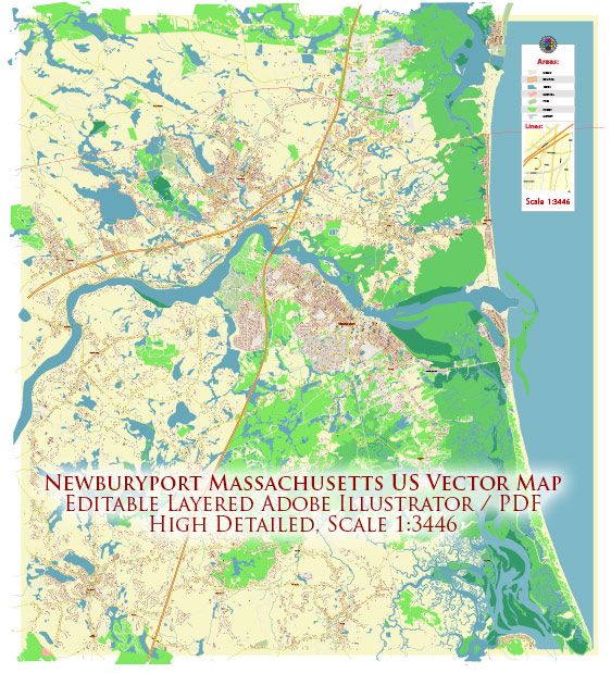
Newburyport, Massachusetts, is a historic coastal city with several principal streets and roads. Some of the key streets and roads in Newburyport include:
- State Street: State Street is the main street in Newburyport, known for its charming and historic architecture. It is lined with shops, restaurants, and businesses and leads to the waterfront.
- Water Street: Water Street runs parallel to the Merrimack River and is known for its scenic views and waterfront properties. It’s home to many restaurants and shops.
- High Street: High Street is another historic street in Newburyport with many well-preserved 18th and 19th-century homes and is a popular spot for strolling.
- Merrimac Street: Merrimac Street is located near the waterfront and is known for its variety of shops and restaurants. It provides beautiful views of the river and is a great place for a leisurely walk.
- Market Square: Market Square is the heart of Newburyport, where you’ll find a variety of shops, restaurants, and a bustling atmosphere.
- Federal Street: Federal Street is known for its tree-lined streets and historic houses, making it a pleasant area for a walk or bike ride.
- State Route 1 (High Street/Bridge Street): This major road connects Newburyport to surrounding areas and leads to the I-95 highway. It’s an important transportation route in the region.
- Low Street: Low Street runs along the south side of the city and provides access to parks and recreational areas.
- Story Avenue: This road runs along the waterfront and provides access to parks, marinas, and the Newburyport Harbor.
- Route 1A (Merrimac Street/High Street): Route 1A runs through the city, providing access to neighboring towns and areas.
These are some of the principal streets and roads in Newburyport, but the city has many more streets, lanes, and avenues that contribute to its unique character and historic charm. Please note that the city’s street layout may change over time, so it’s a good idea to consult a current map or GPS for the most up-to-date information.


 Author: Kirill Shrayber, Ph.D. FRGS