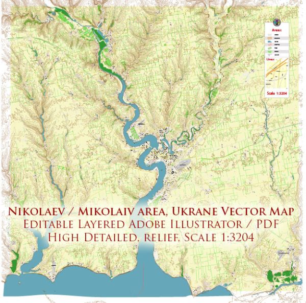
Mykolaiv, also known as Nikolaev, is a historic city located in southern Ukraine. It has a rich and diverse history, which can be summarized as follows:
- Foundation: Mykolaiv was founded in 1789 by the Russian Empress Catherine the Great as a shipbuilding center on the banks of the Southern Bug River. It was established as part of Catherine’s efforts to expand the Russian Empire’s naval power and access to the Black Sea.
- Shipbuilding Hub: Mykolaiv quickly became a significant shipbuilding and trading center. The city’s shipyards played a crucial role in the growth of the Russian Navy and the development of its maritime industry. The city’s strategic location on the Black Sea made it a crucial port for trade and military purposes.
- Growth and Development: In the 19th century, Mykolaiv continued to grow and develop as a key industrial and trade city. It attracted a diverse population, including Russians, Ukrainians, Greeks, and other ethnic groups, contributing to its cultural richness.
- 20th Century: Mykolaiv’s history in the 20th century was marked by significant events. During World War II, the city was occupied by Nazi Germany and suffered substantial damage. It was later liberated by Soviet forces in 1944.
- Soviet Era: Mykolaiv was an important industrial city during the Soviet era, with a focus on shipbuilding, heavy machinery production, and chemical industries. It was a closed city, not open to foreigners due to its military significance.
- Post-Soviet Era: With the dissolution of the Soviet Union in 1991, Mykolaiv, like many other cities in Ukraine, experienced a period of economic and political transformation. It shifted from a planned economy to a market economy.
- Modern Mykolaiv: Today, Mykolaiv continues to be a significant industrial and cultural center in Ukraine. It remains an important hub for shipbuilding and other industries. The city is also known for its cultural heritage, including historic architecture, museums, and cultural events.
Mykolaiv’s history is closely tied to its role as a shipbuilding and industrial center, but it has also evolved into a vibrant and diverse city with a rich cultural heritage.


 Author: Kirill Shrayber, Ph.D. FRGS