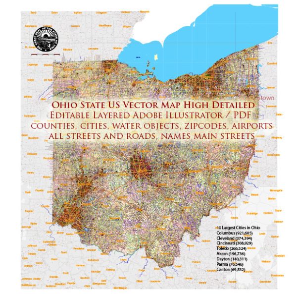
Ohio is home to a variety of cities and towns, ranging from major metropolitan areas to smaller rural communities. Here are some of the most well-known cities and towns in Ohio:
- Columbus – The capital and largest city of Ohio, known for its diverse economy, universities, and cultural attractions.
- Cleveland – Located on the shores of Lake Erie, it’s known for its sports teams, the Rock and Roll Hall of Fame, and a growing culinary scene.
- Cincinnati – A major city in southwestern Ohio, known for its historic architecture, museums, and proximity to the Kentucky border.
- Toledo – Situated on the western edge of Ohio, it is known for its industrial heritage and proximity to Lake Erie.
- Akron – Famous for its history in the rubber industry, it’s now a diverse city with a variety of attractions.
- Dayton – Known for its history in aviation and the Wright Brothers, it’s also home to numerous cultural institutions.
- Youngstown – Located in northeastern Ohio, it has a strong industrial history and is part of the Mahoning Valley region.
- Canton – Famous for being the birthplace of the National Football League (NFL), it’s also known for the Pro Football Hall of Fame.
- Lorain – A city on the shores of Lake Erie with a significant port and industrial presence.
- Springfield – Located in western Ohio, it has a mix of industrial and agricultural activities.
- Mansfield – In north-central Ohio, it’s known for its prison, parks, and outdoor activities.
- Westerville – A suburb of Columbus, known for its pleasant suburban atmosphere.
- Dublin – Another Columbus suburb, famous for its annual Irish Festival and upscale communities.
- Chillicothe – Ohio’s first capital, it’s known for its historic downtown and being near the prehistoric earthworks of Hopewell Culture National Historical Park.
- Marietta – A historic city on the Ohio River, it’s known for its well-preserved 18th and 19th-century architecture.
- Athens – Home to Ohio University, it’s known for its college-town atmosphere and outdoor recreational opportunities.
- Sandusky – Located on Lake Erie, it’s famous for Cedar Point amusement park and its waterfront activities.
- Warren – A city in northeastern Ohio, known for its cultural institutions and the Trumbull Art Gallery.
- Wooster – Known for the College of Wooster and its charming downtown area.
- Zanesville – A city along the Muskingum River, known for its pottery industry and historical architecture.
These are just a selection of the cities and towns in Ohio, and the state is home to many more unique and diverse communities.


 Author: Kirill Shrayber, Ph.D. FRGS