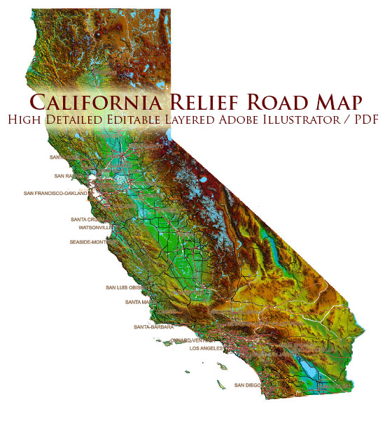
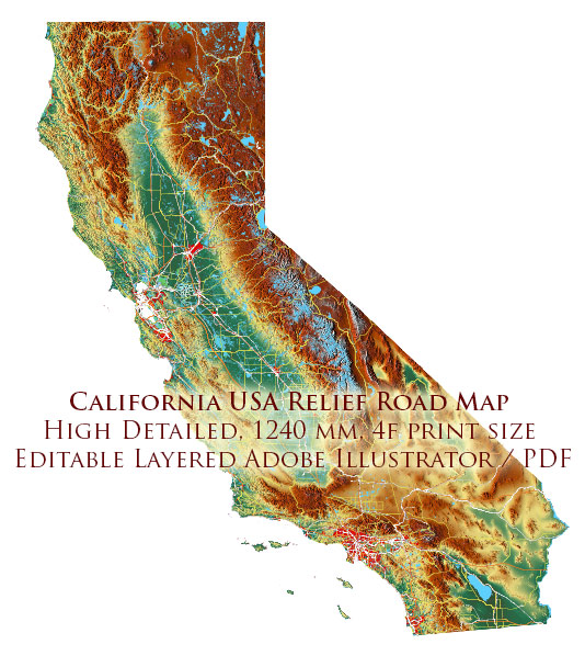
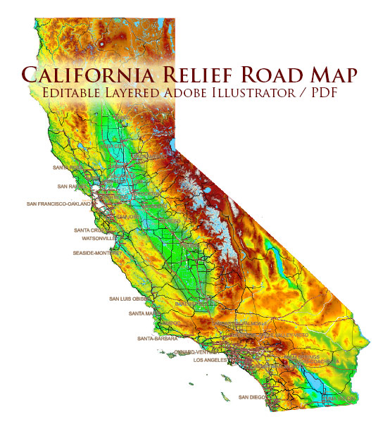
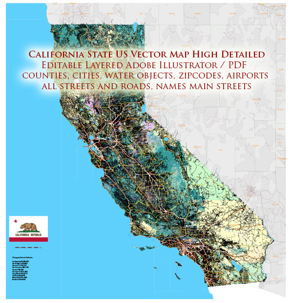
California is a geologically diverse state located on the western coast of the United States. Its unique geology has been shaped by millions of years of tectonic activity, resulting in a wide range of geological features, including mountains, valleys, deserts, and a dynamic coastline. Here’s a brief description of California’s geology:
- Tectonic Plates: California is located along the boundary of two major tectonic plates: the Pacific Plate and the North American Plate. The interaction between these plates is responsible for the state’s dynamic geological activity.
- San Andreas Fault: The San Andreas Fault is one of the most famous geological features in California. It is a transform fault that runs through the state and is responsible for the majority of California’s earthquakes. The motion along this fault is horizontal, with the Pacific Plate moving northwest relative to the North American Plate.
- Coastal Range: The California Coast Ranges run parallel to the Pacific coastline. These mountains have been uplifted and folded by tectonic forces, creating rugged terrain and steep cliffs along the coast.
- Sierra Nevada Mountains: The Sierra Nevada is a massive mountain range running along the eastern edge of California. These mountains were formed by the subduction of the oceanic Farallon Plate beneath the North American Plate. The Sierra Nevada includes some of the highest peaks in the continental United States, including Mount Whitney, and is known for its stunning landscapes, alpine lakes, and world-renowned national parks like Yosemite.
- Central Valley: The Central Valley is a large, flat, and fertile valley located between the Coastal Range and the Sierra Nevada. It’s a major agricultural region in the United States and is known for its extensive farming activities.
- Basin and Range Province: The southeastern part of California, including the Mojave Desert, is part of the Basin and Range Province. This area is characterized by a series of alternating mountain ranges and valleys, formed due to the stretching and thinning of the Earth’s crust.
- Coastal Features: California’s coastline is highly varied, with numerous coastal cliffs, beaches, and rocky shores. It’s also subject to coastal erosion, landslides, and other dynamic geological processes.
- Volcanic Activity: California has several active and dormant volcanoes, including Mount Shasta and Lassen Peak in the northern part of the state. These volcanoes are part of the Pacific Ring of Fire and contribute to California’s geologic diversity.
- Earthquakes: California is prone to earthquakes due to its location on tectonic plate boundaries. In addition to the San Andreas Fault, there are many other fault systems throughout the state that contribute to seismic activity.
- Natural Resources: The state’s geology has also led to the presence of valuable natural resources, including oil, natural gas, minerals, and groundwater.
California’s geology plays a significant role in shaping the state’s landscape, ecosystems, and natural hazards, and it is a subject of ongoing scientific study and monitoring to better understand and mitigate geological risks.


 Author: Kirill Shrayber, Ph.D. FRGS