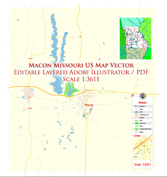
Macon is a city located in the state of Missouri, USA. Here is a geographical description of Macon, Missouri:
- Location: Macon is situated in the northern part of Missouri. It is the county seat of Macon County and is part of the northern region of the state.
- Coordinates: The approximate geographical coordinates of Macon, Missouri are 39.7412° N latitude and 92.4166° W longitude.
- Topography: The terrain in and around Macon is characterized by rolling hills and fertile plains. The city is part of the northern Missouri region, which features a mix of agricultural land and wooded areas.
- Climate: Macon experiences a humid subtropical climate. This means it has hot, humid summers and cold winters. Summers are generally warm with temperatures in the 80s and sometimes reaching the 90s, while winters are cold with temperatures often dropping below freezing.
- Waterways: The city is not located on a major river, but it is relatively close to the Chariton River, which flows through parts of northern Missouri. Several smaller creeks and tributaries may be found in the surrounding countryside.
- Vegetation: The area around Macon is characterized by a mix of grasslands, farmland, and deciduous forests. Agriculture is a significant part of the local economy, with crops like corn and soybeans being commonly grown in the region.
- Wildlife: The wildlife in and around Macon may include various species of birds, deer, and other small mammals common to the Midwest.
- Transportation: Macon is well-connected by road, being situated near U.S. Route 36 and U.S. Route 63, which are major highways in the region. These roads provide easy access to other cities in Missouri.
- Surrounding Area: The city is surrounded by small communities, farmland, and natural landscapes. It’s a relatively rural area with a focus on agriculture.
- Recreation: Macon and its surroundings offer opportunities for outdoor activities, including hunting, fishing, and hiking. The region is also home to several parks and recreational areas.
This geographical description should provide you with a general sense of the location and surroundings of Macon, Missouri.


 Author: Kirill Shrayber, Ph.D. FRGS