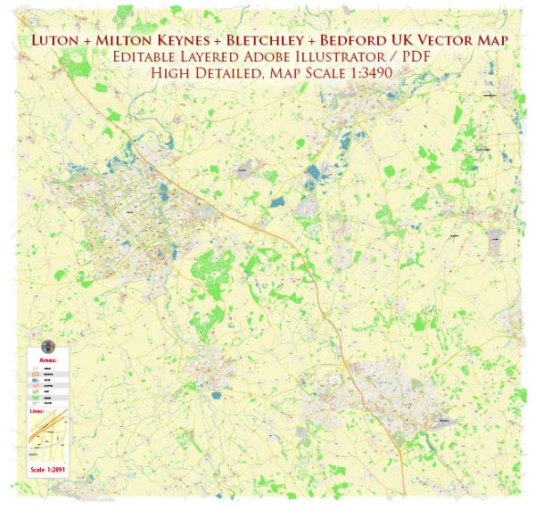
Luton, Milton Keynes, Bedford, and Bletchley are all located in the South East region of England. Here is a brief geographical description of each of these places:
- Luton:
- Luton is a town located in Bedfordshire, about 30 miles north of London.
- It is known for Luton Airport, one of London’s major airports, and a significant contributor to the town’s economy.
- Luton is situated on the River Lea and has a mix of urban and suburban areas.
- Milton Keynes:
- Milton Keynes is a large town located in Buckinghamshire, about 50 miles northwest of London.
- It is known for its unique grid-style road layout, which separates the town into a series of neighborhoods, parks, and lakes.
- Milton Keynes is often regarded as a “new town” and is known for its modern infrastructure and shopping centers.
- Bedford:
- Bedford is the county town of Bedfordshire and is situated on the River Great Ouse.
- It has a historic town center with a range of shops and cultural attractions.
- Bedford is known for its beautiful riverside area and parks.
- Bletchley:
- Bletchley is a constituent town of Milton Keynes, located to the south of the central area of Milton Keynes.
- It is famous for Bletchley Park, which was the site of British codebreaking efforts during World War II, including the work on the Enigma machine.
- Bletchley is a residential area with a mix of housing and commercial development.
The region around these towns is characterized by a mix of urban and suburban areas, and they are well-connected to London and other major cities in the South East of England. Additionally, there is a blend of historical and modern attractions in these areas, making them diverse and culturally rich places to live and visit.


 Author: Kirill Shrayber, Ph.D. FRGS