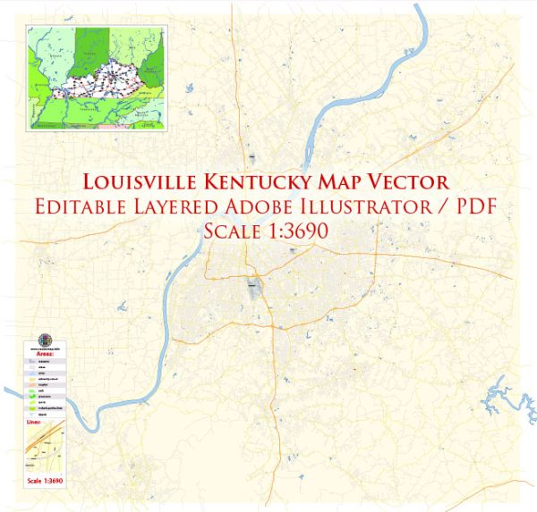
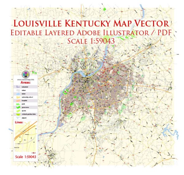
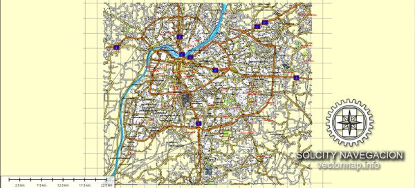
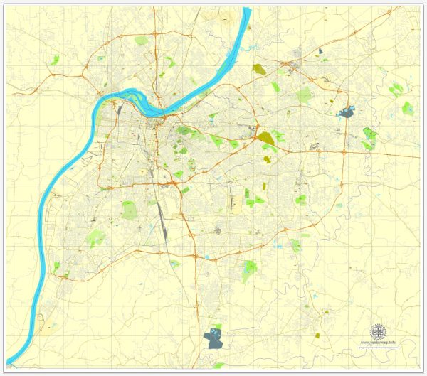
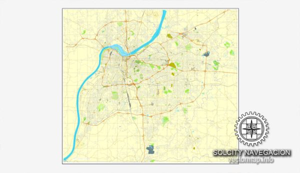
Louisville, Kentucky, has a road system that is typical of many American cities, with a grid layout and a combination of local streets, avenues, and highways. Here are some key features of the road system in Louisville:
- Interstate Highways:
- I-64: Runs east-west through the northern part of the city, connecting Louisville to cities like St. Louis and Lexington.
- I-65: A major north-south route that passes through Louisville and connects to cities like Indianapolis, Nashville, and Birmingham.
- I-71: Runs north-south, primarily to the northeast of the city, connecting Louisville to Cincinnati.
- Ring Road:
- I-264 (also known as the Watterson Expressway or the Gene Snyder Freeway): Forms a ring road around the city, providing easy access to different parts of Louisville.
- Major Arterial Roads:
- Bardstown Road and Dixie Highway are major arterial roads that run north-south and provide access to various neighborhoods and commercial areas.
- Broadway and Market Street are important east-west corridors through the city.
- Shelbyville Road (US 60) is a significant road running through the eastern part of the city.
- Local Streets:
- Louisville’s local streets are laid out in a grid pattern in most areas, making navigation relatively straightforward.
- Bridges:
- Louisville is situated on the Ohio River, and several bridges connect the city to Indiana, including the Abraham Lincoln Bridge, John F. Kennedy Memorial Bridge, and the Sherman Minton Bridge.
- Tunnels:
- The city has a few tunnels, such as the Second Street Tunnel, which allows for vehicular and pedestrian traffic beneath the city’s streets.
- Public Transportation:
- TARC (Transit Authority of River City) operates public bus services in Louisville, providing public transportation options within the city.
- Biking and Pedestrian Infrastructure:
- Louisville has been working on improving its biking and pedestrian infrastructure, including the development of dedicated bike lanes and walking paths.
It’s important to note that road systems can change over time due to construction, expansion, and maintenance projects. So, for the most up-to-date information on Louisville’s road system, it’s a good idea to consult local transportation authorities or use navigation apps and maps.

 Author: Kirill Shrayber, Ph.D. FRGS