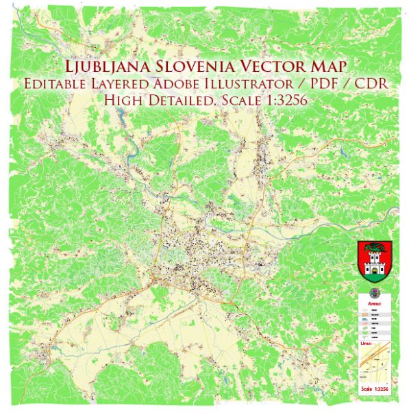
Ljubljana, the capital of Slovenia, has a well-developed and efficient public transport system that includes buses, a funicular, and a bicycle-sharing program. Here’s an overview of the city’s transport system:
- Ljubljana City Bus Network: The backbone of the public transportation system in Ljubljana is the city’s extensive bus network. The buses are operated by the Ljubljana Passenger Transport (LPP) company. There are numerous bus lines that cover the city and its suburbs. The buses are usually punctual and run frequently during the day.
- Funicular Railway: Ljubljana is known for its picturesque hilltop castle, and you can reach it by taking a funicular railway. The funicular offers beautiful views of the city while taking you up to the castle.
- Bicycle-Friendly City: Ljubljana is a bike-friendly city, and it offers a bike-sharing program called Bicikelj. You can rent bicycles from various stations throughout the city for a small fee. The city also has bike lanes and pathways to facilitate cycling.
- Ljubljana Card: Tourists can take advantage of the Ljubljana Card, which provides unlimited access to the city’s public transportation system for a specific period. It also offers free or discounted entry to many of the city’s attractions.
- Taxis: Taxis are readily available in Ljubljana and can be hailed on the street or booked through various taxi companies. Make sure to use licensed and regulated taxi services to avoid any issues.
- Car Rentals: While the public transport system is comprehensive, some visitors might prefer renting a car to explore the surrounding areas and neighboring cities at their own pace.
- Train Station and Bus Station: Ljubljana has a central train station and a central bus station, making it a transportation hub for the entire country. You can access other parts of Slovenia and neighboring countries by train or long-distance bus from these stations.
Ljubljana’s public transport system is known for its reliability and ease of use, making it a convenient way to get around the city and explore its many attractions. The city’s commitment to sustainability and green transport options has made it a pleasant place for pedestrians and cyclists as well.


 Author: Kirill Shrayber, Ph.D. FRGS