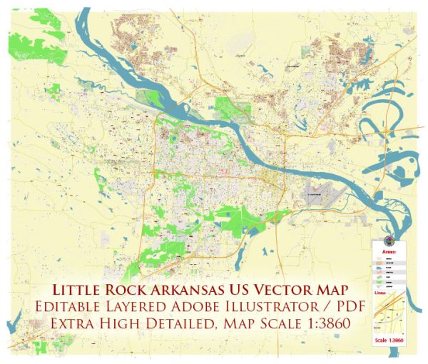
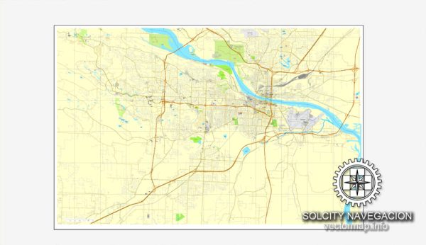
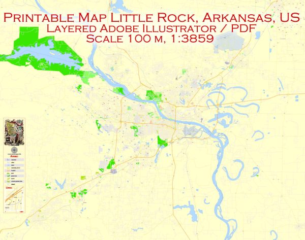
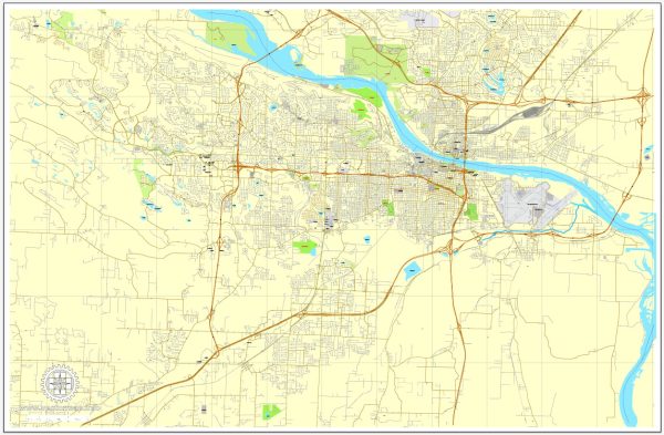
Little Rock, Arkansas, has a transportation system that includes various modes of transportation to serve its residents and visitors. Here are some key components of the transportation system in Little Rock:
- Roads and Highways: Little Rock has an extensive road network, including several major highways. Interstate 30 and Interstate 40 intersect in the city, making it a significant transportation hub. These highways provide access to other parts of Arkansas and the broader region.
- Public Transit: The Rock Region Metro, previously known as the Central Arkansas Transit Authority (CATA), operates public bus services in Little Rock and its surrounding areas. They offer several bus routes that serve the city and its suburbs, making it possible for residents to get around without a car.
- Bicycling: Little Rock has been working to improve its bicycle infrastructure in recent years. This includes the development of bike lanes, bike-sharing programs, and a growing network of bike-friendly routes. The city is becoming more bicycle-friendly, making it easier for residents and visitors to bike around.
- Little Rock National Airport: Located to the east of the city, Little Rock National Airport (Adams Field) provides air travel options for those traveling to and from the area. It offers domestic flights and is the largest commercial airport in the state.
- Rail Transportation: Little Rock is served by Amtrak, with the Texas Eagle route running through the city. This passenger train service connects Little Rock to Chicago and San Antonio, providing an alternative mode of transportation for long-distance travel.
- Trolley System: The River Rail Electric Streetcar is a historic trolley system that operates in Little Rock and North Little Rock. It provides a unique way to explore some of the city’s attractions, including the Clinton Presidential Center and the River Market District.
- Walking: Many parts of Little Rock, particularly in the downtown area, are pedestrian-friendly. Sidewalks and pedestrian pathways have been improved in recent years to encourage walking as a mode of transportation.
- Rideshare Services: Ride-hailing services like Uber and Lyft are also available in Little Rock, offering an additional transportation option for residents and visitors.
- Car Ownership: The majority of residents in Little Rock rely on private vehicles for their daily transportation needs. The city has ample parking facilities and road infrastructure to support car travel.
Overall, Little Rock’s transportation system provides a range of options for getting around the city, whether by car, public transit, bicycle, or walking. The city continues to invest in transportation infrastructure and services to improve accessibility and mobility for its residents.


 Author: Kirill Shrayber, Ph.D. FRGS