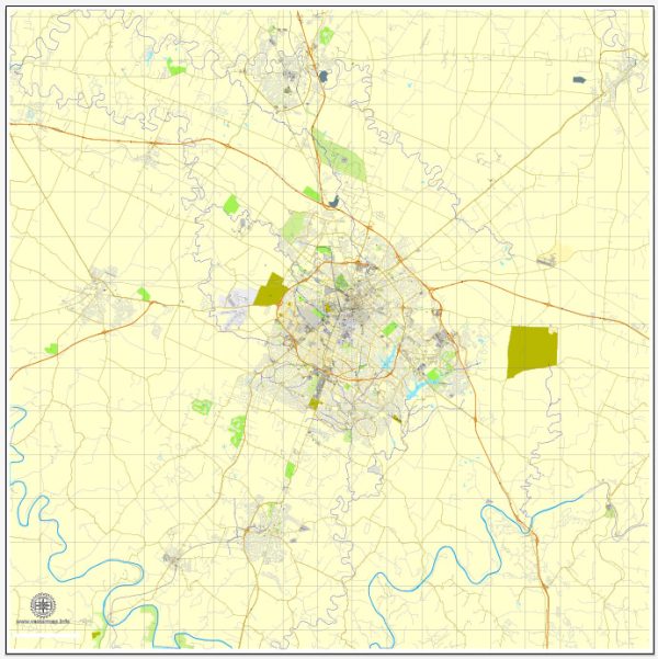
Lexington, Kentucky, has a variety of transportation options to help residents and visitors get around the city and the surrounding region. Here are some key aspects of Lexington’s transportation system:
- LexTran: Lexington’s public transit system is operated by LexTran. It offers a network of bus routes that cover various parts of the city and the surrounding area. LexTran provides an affordable and convenient way to get around Lexington.
- Driving: Most people in Lexington rely on personal vehicles for transportation. The city has a well-developed road network, and major highways like I-75 and I-64 pass through or near the city, providing easy access to other parts of Kentucky and neighboring states.
- Cycling: Lexington is becoming more bike-friendly, with a growing network of bike lanes and bike-friendly roads. The city also has a bike-sharing program, which allows residents and visitors to rent bicycles for short trips.
- Walking: Lexington’s downtown area and many neighborhoods are pedestrian-friendly, making walking a popular mode of transportation for short distances.
- Ridesharing and Taxis: Services like Uber and Lyft are available in Lexington, providing convenient and on-demand transportation options. Traditional taxis are also accessible in the city.
- Blue Grass Airport: If you need to travel long distances or internationally, the Blue Grass Airport (LEX) is the primary airport serving Lexington. It offers flights to various destinations, connecting the city to the broader transportation network.
- Rail Service: Lexington is connected to the national rail network, but passenger rail service is limited. Amtrak offers limited services through the nearby cities of Cincinnati and Louisville, which can be accessed by local transportation.
- Greyhound: Greyhound bus services also connect Lexington to other cities and regions. The Greyhound bus terminal is located in downtown Lexington.
- Rural Transit: In the surrounding rural areas of Lexington, public transit options are limited. Residents often rely on personal vehicles, carpooling, or private shuttle services for transportation in these regions.
It’s worth noting that transportation options and infrastructure can change over time, so it’s a good idea to check for updates and specific routes and schedules, especially if you plan to use public transit or specific transportation services in Lexington.


 Author: Kirill Shrayber, Ph.D. FRGS