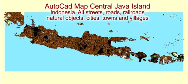
Indonesia, including the island of Java, has a diverse and complex transportation system that includes various modes of transportation to accommodate the needs of its large population and extensive geography. Java is the most populous island in Indonesia and is home to several major cities, including Jakarta, Surabaya, and Bandung. Here are some key aspects of Java’s transportation system:
- Road Transport:
- Road Network: Java has an extensive road network, with a system of highways and smaller roads connecting cities and regions.
- Traffic Congestion: Major cities like Jakarta often face significant traffic congestion, which can be a challenge for commuters.
- Rail Transport:
- Trains: Java has a well-developed railway network, with both commuter and long-distance train services. The network connects cities across the island and is an important mode of transportation for many people.
- Public Transport:
- Buses: Public buses are widely used for commuting within cities and towns, and there are various types of bus services available.
- Bajaj and Ojek: In some cities, you can find Bajaj (three-wheeled motorized vehicles) and Ojek (motorcycle taxis) for short-distance travel.
- Air Transport:
- Airports: Java is home to several major airports, with Soekarno-Hatta International Airport in Jakarta and Juanda International Airport in Surabaya being the busiest. These airports offer domestic and international flights.
- Sea Transport:
- Ports: Java has several major ports, including Tanjung Priok in Jakarta and Tanjung Perak in Surabaya, which handle a significant portion of the country’s maritime trade.
- Ferries: Ferries are a common means of transportation for inter-island travel, as Indonesia is an archipelago.
- Traffic Challenges:
- Traffic congestion is a common issue in Java’s major cities, especially Jakarta. Efforts have been made to improve public transportation and alleviate congestion, such as the development of mass transit systems like the Jakarta MRT and LRT.
- Infrastructure Development:
- The Indonesian government has been investing in infrastructure development, including the construction of toll roads and the expansion of transportation networks to accommodate the growing population and economic activities.
- Ride-Sharing and Apps:
- Ride-sharing services and transportation apps like Gojek and Grab have gained popularity in Java. These apps offer ride-hailing services, food delivery, and more.
- Cycling and Walking:
- In some areas, especially in urban centers, cycling and walking have become popular for short trips. Efforts have been made to promote these eco-friendly modes of transportation.
It’s important to note that transportation infrastructure and services can vary between different regions on the island, with more developed options in major urban areas and fewer options in rural or less densely populated regions. The transportation system in Java, like the rest of Indonesia, is continually evolving to meet the needs of its residents and visitors.


 Author: Kirill Shrayber, Ph.D. FRGS