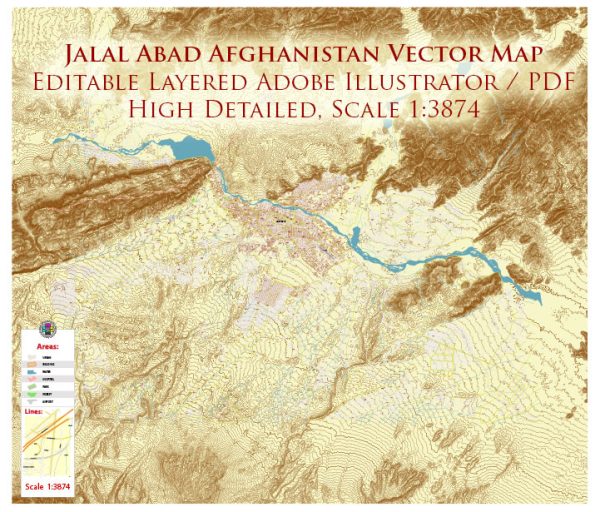
Jalalabad, also spelled as Jalal Abad, is a city located in eastern Afghanistan. It is the capital of Nangarhar Province and has a rich history that dates back thousands of years. Here is a brief description of Jalalabad’s history:
- Ancient Origins: The region around Jalalabad has a long history of human settlement, dating back to ancient times. It was a key location on the ancient Silk Road, connecting South Asia with Central Asia and the Middle East. The city was known as Adinapura in antiquity.
- Buddhist and Hindu Influence: During the pre-Islamic period, the area was influenced by Buddhist and Hindu cultures. There are several historical sites and relics in the region, including Buddhist stupas and ancient monasteries.
- Islamic Era: With the advent of Islam, the region gradually converted to the new faith, and Jalalabad became an important center for Islamic culture and learning. It was part of various Islamic empires, including the Ghaznavid, Ghurid, and Timurid dynasties.
- British and Afghan Wars: In the 19th century, Jalalabad was a strategic location during the First and Second Anglo-Afghan Wars. The city was a site of significant conflict between the British and Afghan forces.
- Modern History: Jalalabad has been a hub for trade and commerce in the eastern region of Afghanistan. In the late 20th and early 21st centuries, the city faced significant challenges during the Afghan civil war and the subsequent U.S.-led military intervention. It was a key center of operations for various Afghan factions and international forces.
- Contemporary Times: Jalalabad has continued to be a center of economic and cultural activity in eastern Afghanistan. It is known for its agricultural produce, particularly fruits and nuts. The city has also been a hub for education and healthcare in the region.
Jalalabad’s history is a reflection of the broader historical and political developments in Afghanistan, with periods of conflict and prosperity. Like many parts of the country, it has faced challenges but also retains a rich cultural heritage.


 Author: Kirill Shrayber, Ph.D. FRGS