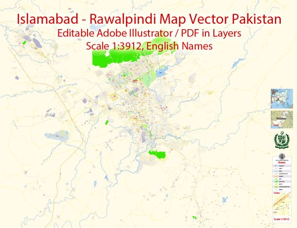
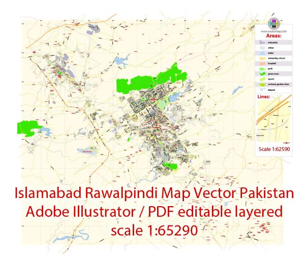
Islamabad and Rawalpindi are two major cities located in the northern part of Pakistan, and they are often referred to as the “Twin Cities” because of their close proximity to each other. Here is a geographical description of these cities:
- Location: Islamabad and Rawalpindi are situated in the northeastern part of Pakistan, in the Punjab province. They are adjacent to each other and share a common boundary. Islamabad serves as the capital city of Pakistan, while Rawalpindi is a significant neighboring city.
- Topography: The terrain of Islamabad and Rawalpindi is characterized by the Margalla Hills to the north, which are part of the Himalayan foothills. These hills provide a scenic backdrop to the cities and are popular for hiking and recreational activities. The land gradually descends towards the plains to the south.
- Climate: Both cities experience a subtropical climate with distinct seasons. Summers are hot, with temperatures often exceeding 40°C (104°F), while winters can be quite cold, with occasional snowfall in the hilly areas. Spring and autumn are generally pleasant.
- Rivers: The Soan River flows near Rawalpindi, but it is not a major river. Islamabad, on the other hand, is known for its reservoirs, including Rawal Lake and Simly Dam, which provide water supply and recreational opportunities for residents.
- Greenery: Islamabad is known for its lush greenery, with numerous parks, gardens, and tree-lined avenues. This is in part due to its well-planned layout and a focus on maintaining green spaces.
- Urban Development: Islamabad was purpose-built as the capital of Pakistan in the 1960s, and it is known for its organized and planned layout, characterized by sectors, wide avenues, and government buildings. Rawalpindi, being an older city, has a more historic and traditional urban layout, with a mix of commercial and residential areas.
- Economic and Cultural Hub: Islamabad is the political and administrative center of Pakistan, with numerous government offices, foreign embassies, and international organizations. Rawalpindi, while also hosting some government offices, is a major economic hub with a thriving commercial sector and military presence.
- Transportation: The cities are well-connected through a network of roads and highways. The Islamabad International Airport serves the region for domestic and international travel. Additionally, both cities are connected by the Islamabad Metrobus, which facilitates public transportation between them.
- Tourist Attractions: The Twin Cities offer several tourist attractions, including Faisal Mosque (one of the largest mosques in the world), Daman-e-Koh (a viewpoint with panoramic views of the city), Pakistan Monument, and a variety of markets and bazaars.
Overall, Islamabad and Rawalpindi are two distinct but closely interconnected cities in Pakistan, with Islamabad serving as the political and administrative center, and Rawalpindi being an important economic and cultural hub. The natural beauty of the Margalla Hills and the planned urban development of Islamabad make the region unique in its geographical and cultural attributes.


 Author: Kirill Shrayber, Ph.D.