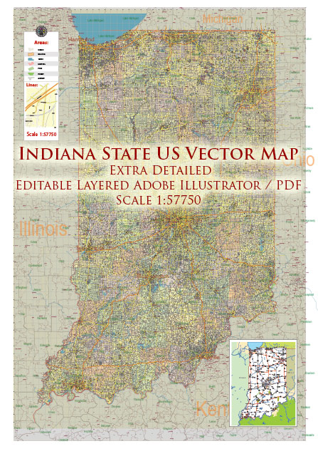
Indiana is a U.S. state located in the Midwestern and Great Lakes region. It has a diverse geology that includes a mix of sedimentary, igneous, and metamorphic rocks. Here’s a brief description of the state’s geology:
- Sedimentary Rocks: Indiana is primarily known for its abundance of sedimentary rocks, which cover most of the state’s surface. These rocks were formed over millions of years through the accumulation of sediments in ancient seas, lakes, and rivers. Limestone is one of the most prominent sedimentary rocks in Indiana and is widely used in construction and architecture. The state is often referred to as the “Limestone Capital of the World.”
- Glacial Deposits: During the last ice age, glaciers covered much of Indiana, leaving behind glacial deposits like moraines, drumlins, and kettle lakes. These features can be found mainly in the northern part of the state and have had a significant impact on the landscape.
- Karst Topography: Southern Indiana features karst topography, characterized by sinkholes, underground caves, and underground drainage systems. This area is underlain by soluble bedrock, typically limestone, which is eroded by slightly acidic groundwater, creating unique landforms and cave systems.
- Coal and Mineral Resources: Indiana has significant coal deposits, especially in the southwestern part of the state. Historically, coal mining has been an important industry in Indiana. Additionally, the state has some minor deposits of oil and natural gas, as well as industrial minerals like gypsum, sand, and gravel.
- Fossils: Indiana is known for its rich fossil record, which provides valuable insights into ancient life forms. Fossils from the Paleozoic Era, such as trilobites and crinoids, can be found in the sedimentary rocks of the state.
- Water Resources: Indiana is abundant in water resources, with numerous rivers and lakes. The Wabash River and the Ohio River form significant parts of the state’s boundaries, and numerous smaller rivers and streams flow through its interior. The state’s groundwater resources are also vital for agriculture and public water supply.
- Geological History: The geological history of Indiana is complex and spans hundreds of millions of years. It has seen various geological events, including the formation of ancient seas, mountain-building events, glacial advances and retreats, and the gradual shaping of the landscape by erosional processes.
Overall, Indiana’s geology is a testament to the dynamic and evolving nature of the Earth’s surface over geological time, with diverse landscapes and geological features that have shaped the state’s history and economy.


 Author: Kirill Shrayber, Ph.D. FRGS