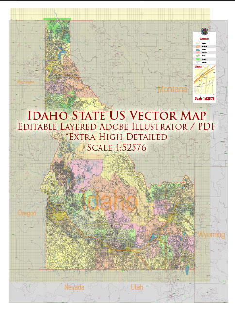
Idaho has a diverse transportation system that includes various modes of transportation to serve its residents and visitors. Here’s an overview of the transportation system in Idaho:
- Roads and Highways: Idaho has an extensive network of roads and highways that connect the state’s cities and rural areas. The Idaho Transportation Department (ITD) is responsible for maintaining and developing the state’s road infrastructure.
- Interstate Highways: Idaho is served by several interstate highways, including I-84, I-86, I-90, and I-15. These highways facilitate the movement of goods and people both within the state and between neighboring states.
- State Highways: Idaho’s state highways are designated with numbers and provide access to various regions of the state. Some of the major state highways include US-20, US-26, US-30, and US-93.
- Public Transit: Several cities in Idaho, such as Boise, have public transit systems, including buses. The Valley Regional Transit (VRT) provides bus services in the Boise area.
- Airports: Idaho has several airports, with Boise Airport (BOI) being the largest and busiest. Other significant airports include Spokane International Airport (GEG) in the northern part of the state.
- Railroads: While rail transportation is not as prevalent as other modes in Idaho, the state does have a rail network, primarily used for freight transport. Major rail companies like Union Pacific and BNSF operate in the state.
- Cycling: Idaho offers opportunities for cycling enthusiasts, with various bike lanes and paths in cities and scenic routes in the countryside.
- Waterways: While Idaho is a landlocked state, it has several rivers and lakes that are used for recreational boating and shipping purposes.
- Bridges: The state maintains numerous bridges, including the famous Perrine Bridge, which spans the Snake River Canyon in Twin Falls.
- Winter Transportation: In winter, snow and ice can impact transportation. Idaho has a fleet of snowplows and uses sand and salt to keep roads safe during winter conditions.
- National Parks: Idaho is home to several national parks and forests, which have their own transportation systems for access and exploration. For example, Yellowstone National Park extends into the eastern part of Idaho.
It’s essential to check local and state transportation resources for the most up-to-date information on road conditions, public transit options, and any travel advisories, especially during inclement weather or other challenging conditions. The Idaho Transportation Department (ITD) website is a valuable resource for current road and travel information in the state.


 Author: Kirill Shrayber, Ph.D.