Houston, Texas, has a diverse transportation system that includes various modes of transportation to accommodate the city’s large and growing population. Here are some key components of Houston’s transportation system:
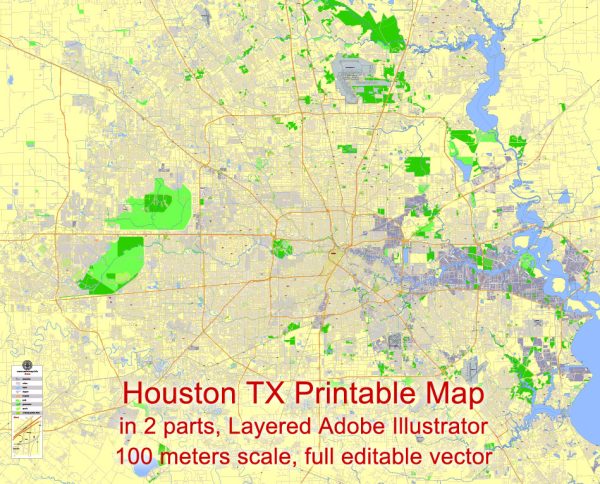
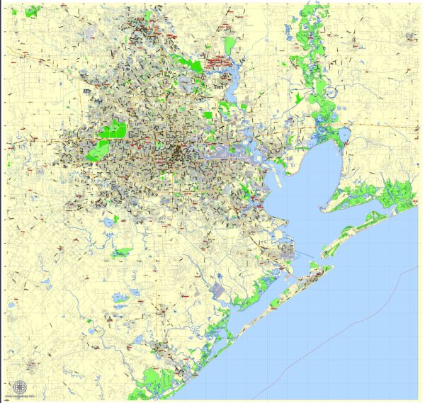
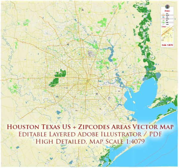
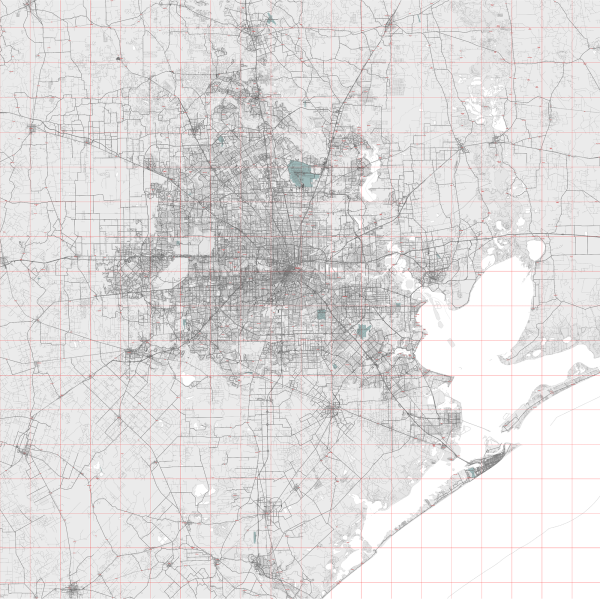
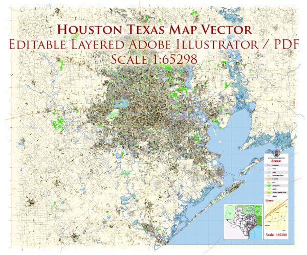
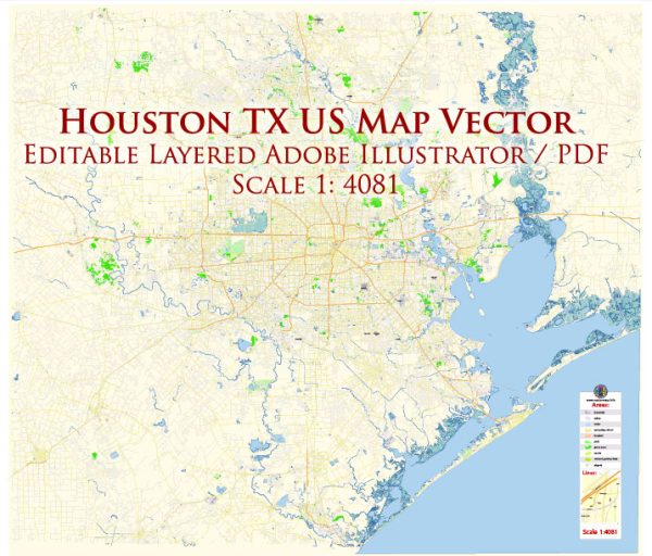
- Roads and Highways: Houston is known for its extensive network of roads and highways, including several major interstates. Interstate 45 runs north-south through the city and connects Houston to Dallas to the north and Galveston to the south. Interstate 10 is another major east-west route that connects Houston to cities like San Antonio and New Orleans.
- Public Transit: The Metropolitan Transit Authority of Harris County (METRO) operates Houston’s public transit system. METRO provides bus services, light rail, and commuter bus services, offering a range of transportation options for residents and visitors. The METRORail is a light rail system that serves various parts of the city.
- Light Rail: The METRORail is a light rail system with three lines: the Red Line, Green Line, and Purple Line. These lines serve the downtown area, the Texas Medical Center, and various neighborhoods within the city.
- Bicycling: Houston has been expanding its efforts to make the city more bike-friendly, with dedicated bike lanes and bike-sharing programs. Bicycling is becoming a more popular way to get around in certain areas of the city.
- Ride-Sharing: Ride-sharing services like Uber and Lyft are widely available in Houston, providing convenient transportation options for those who prefer not to drive.
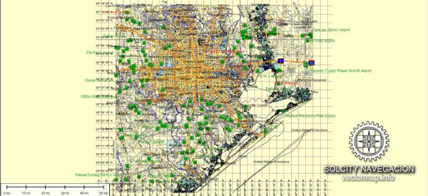
- Airports: Houston is served by two major airports. George Bush Intercontinental Airport (IAH) is one of the busiest airports in the United States and handles both domestic and international flights. William P. Hobby Airport (HOU) primarily serves domestic flights, including many low-cost carriers.
- Port of Houston: The Port of Houston is one of the busiest ports in the United States, serving as a major gateway for international trade. It handles a significant amount of cargo and is a vital part of the region’s economy.
- Commuter Rail: The city has been exploring the development of commuter rail services to connect the greater Houston area. Projects such as the Texas Central Railway, which aims to create a high-speed rail line between Houston and Dallas, have been in the planning stages.
- Car Ownership: Due to the city’s vast urban sprawl, owning a car is a common and practical means of transportation for many residents. Houston’s road system is designed to accommodate high levels of automobile traffic.
- Future Transportation Initiatives: Houston continues to invest in transportation infrastructure to address the city’s growth and alleviate traffic congestion. Various projects are in development or planning stages to improve transportation options, including the expansion of METRORail and freeway improvements.
Houston’s transportation system is a mix of roadways, public transit, and evolving options to meet the needs of its diverse and growing population. It’s important to check with local authorities or transportation agencies for the most up-to-date information on transportation options and routes in the city.

 Author: Kirill Shrayber, Ph.D.