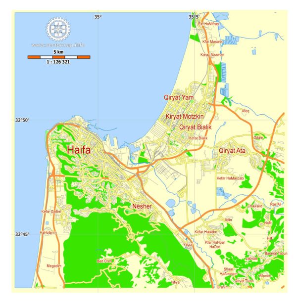
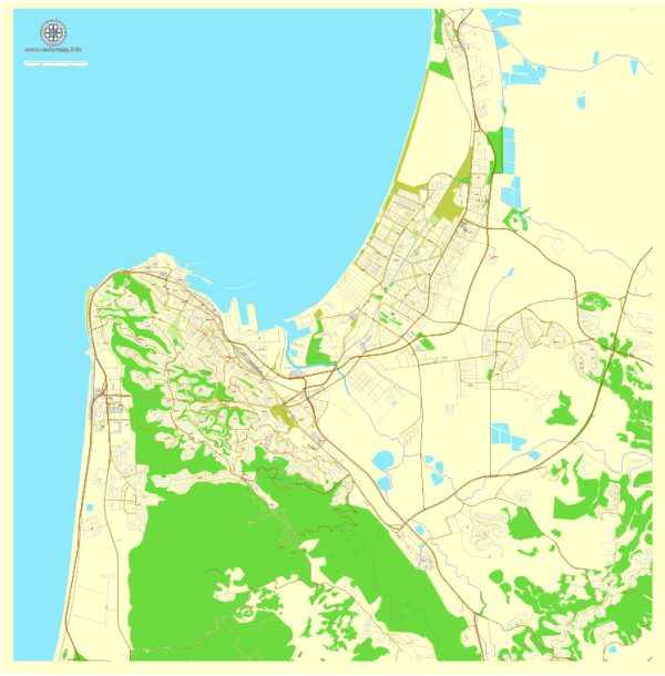
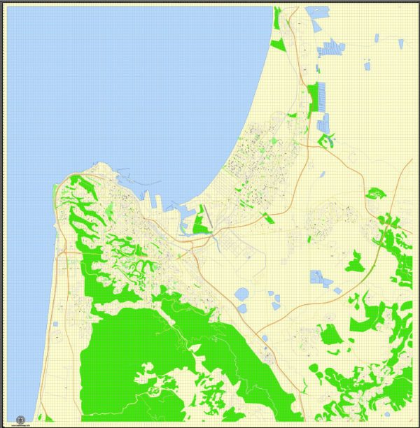
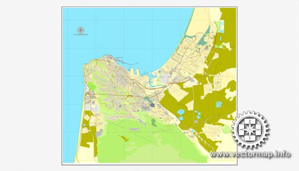
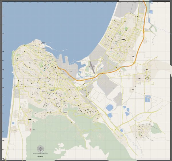
Haifa is a historically significant city located in northern Israel, situated on the Mediterranean coast. Its history is rich and diverse, with a legacy that spans thousands of years. Here’s a brief description of Haifa’s history:
- Ancient History: Haifa’s history dates back to ancient times. The city has been inhabited since at least the 3rd millennium BCE, with various civilizations such as the Phoenicians and Canaanites leaving their mark on the region.
- Roman and Byzantine Period: During the Roman and Byzantine eras, Haifa was known as “Sycaminum.” It served as a regional center and was mentioned by ancient historians and geographers. The city was part of the Roman province of Judea.
- Islamic Conquest: Haifa fell under Islamic rule in the 7th century when it was captured by the Muslim armies during the Islamic conquests. The city’s name changed to “Hayfah.”
- Crusader Rule: Haifa was briefly under Crusader control during the 12th century when it was known as “Caiphas.” The Crusaders constructed fortifications and controlled the coastal area for a time.
- Ottoman Era: For several centuries, Haifa was under Ottoman rule, from the 16th century until the end of World War I. During this time, it was a relatively small and insignificant town.
- British Mandate: After World War I and the defeat of the Ottoman Empire, Haifa came under British Mandate in Palestine, which lasted until the establishment of the State of Israel in 1948.
- Israeli Independence: Haifa played a crucial role in the 1948 Arab-Israeli War. The city was a key strategic location, and it was the site of battles between Israeli and Arab forces. When the war ended, Haifa became part of the newly established State of Israel.
- Modern Haifa: Today, Haifa is Israel’s third-largest city and a major industrial and economic hub. It is known for its diverse population, with Jews, Arabs, and other ethnic groups coexisting in the city. Haifa is home to important institutions like the University of Haifa and the Technion – Israel Institute of Technology.
- Landmarks: Haifa boasts numerous attractions and landmarks, including the Bahá’í Gardens, a UNESCO World Heritage Site; the Haifa Port; the Carmel Mountain range; and various cultural and religious sites.
Haifa’s history is marked by its strategic location along the Mediterranean coast, making it a place of historical importance and a vibrant city in contemporary Israel. It is also known for its coexistence of different communities, contributing to its cultural diversity.

 Author: Kirill Shrayber, Ph.D. FRGS