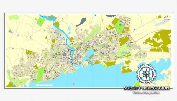
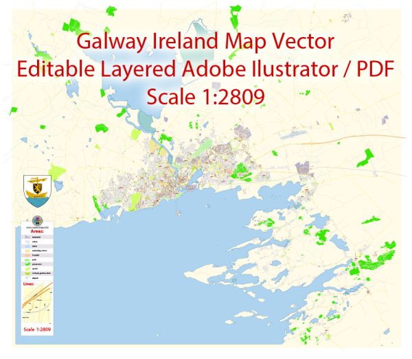
Galway, located on the west coast of Ireland, has a rich and colorful history that spans many centuries. Here’s a brief overview of the history and description of Galway:
- Early History: Galway’s history can be traced back to the medieval period when it was a small fishing village. It was initially called “Gallimh” in Irish, which means “stony river.” The site was strategically located near the mouth of the River Corrib and served as a place for trade and commerce.
- Anglo-Norman Influence: In the early 13th century, the Anglo-Normans arrived in Galway and established the town as a center for trade. The city’s walls, built in the 13th and 14th centuries, still stand today and are a testament to this period in its history.
- Trade and Prosperity: Galway developed into a thriving port city, known for its trade in goods such as wine, fish, and textiles. It became a significant trading hub with connections to Spain, France, and other European countries.
- The Claddagh: The Claddagh is a historic fishing village located within the city of Galway. It is famous for its unique community and the traditional Claddagh ring, a symbol of love and friendship.
- The Spanish Arch: Built in the late 16th century, the Spanish Arch is a well-preserved historical structure that once served as part of the city’s defensive fortifications. It is a popular tourist attraction today.
- 17th Century Troubles: Galway experienced challenges during the 17th century, including conflicts with the English during the Cromwellian and Williamite Wars. The town’s power and influence waned during this period.
- The Great Famine: Like the rest of Ireland, Galway suffered greatly during the Great Famine (1845-1852), which led to a significant population decline.
- Revival and Modernization: In the 19th and 20th centuries, Galway began to experience a revival, with improvements in infrastructure, trade, and education. The city has since become known for its vibrant cultural scene, including music, literature, and the performing arts.
- Galway Today: Galway is known for its lively atmosphere, particularly during events like the Galway Arts Festival, Galway International Oyster Festival, and the Galway Races. The city is home to the National University of Ireland, Galway (NUIG), and is a center of education and research.
- Tourism: Galway has become a popular tourist destination due to its historic architecture, lively pubs, and its location on the stunning Wild Atlantic Way. Visitors come to explore the city’s heritage and to experience its lively cultural scene.
- Language and Culture: The Irish language (Gaeilge) is still spoken in Galway and is a part of the city’s culture. The city has a strong tradition of music, with many pubs hosting live traditional Irish music sessions.
In summary, Galway is a city with a fascinating history, from its origins as a medieval trading post to its modern reputation as a vibrant cultural center on the western coast of Ireland. Its unique blend of history, culture, and natural beauty makes it a captivating place to visit.


 Author: Kirill Shrayber, Ph.D. FRGS