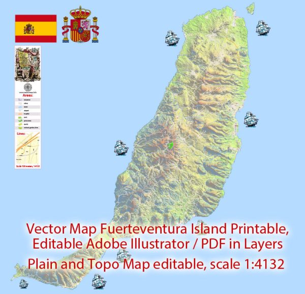
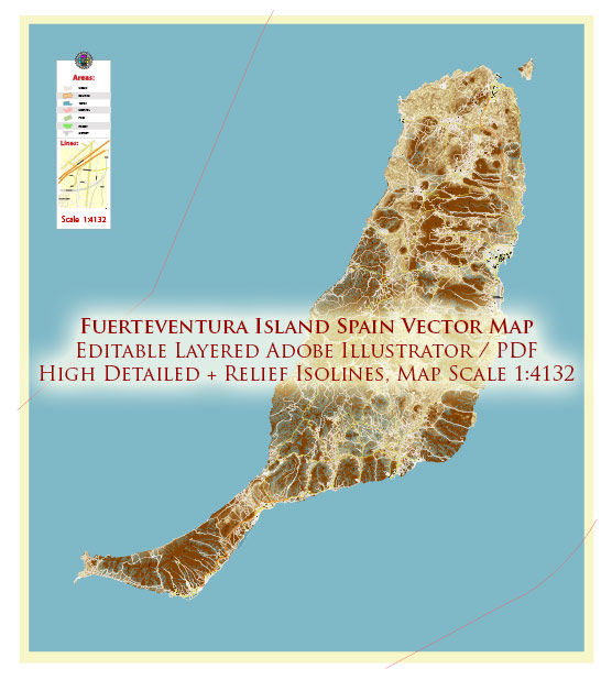
Fuerteventura is one of the Canary Islands, which are an autonomous community of Spain. Here’s a geographical description of Fuerteventura:
- Location: Fuerteventura is located in the Atlantic Ocean, off the northwest coast of Africa. It is part of the Macaronesia region, along with the other Canary Islands. Its geographical coordinates are approximately 28.3587° N latitude and 14.0530° W longitude.
- Size: Fuerteventura is the second-largest of the Canary Islands, covering an area of about 1,660 square kilometers (640 square miles).
- Landscape: The island is known for its diverse and striking landscapes. It has a largely arid and volcanic terrain, with rocky coastlines, sandy beaches, and extensive dunes in many areas. The northern part of the island is more mountainous and has a greener landscape, while the southern part is flatter and more arid.
- Beaches: Fuerteventura is famous for its beautiful, long sandy beaches, making it a popular destination for sunbathing, water sports, and surfing. Some well-known beaches include Corralejo, Jandía, and Cofete.
- Climate: Fuerteventura enjoys a mild and dry climate with very little rainfall. The island has a desert climate (Köppen climate classification BWh) with warm temperatures year-round. Winters are mild, and summers are warm, making it a popular destination for tourists seeking sun and pleasant weather.
- Flora and Fauna: The island’s unique flora and fauna have adapted to its arid environment. You can find various species of cacti, succulents, and shrubs. In terms of wildlife, there are several bird species, reptiles, and marine life in the waters surrounding the island.
- Volcanoes: Fuerteventura, like many of the Canary Islands, is of volcanic origin. While it is not as mountainous as some of the other islands, there are remnants of past volcanic activity, including several volcanic cones and lava fields.
- Geography: The northern part of the island is more rugged, with mountains and hills, while the southern part is flatter and more desert-like. The highest point on the island is Mount Jandía, which rises to an elevation of about 807 meters (2,648 feet).
- Populated Areas: The main towns on Fuerteventura include the capital city, Puerto del Rosario, as well as Corralejo, Morro Jable, and Caleta de Fuste. These towns are typically located along the coastline and are hubs for tourism and commerce.
- Tourism: Fuerteventura is a popular tourist destination, attracting visitors with its stunning beaches, water sports, and natural beauty. The island’s tourism industry has grown significantly over the years, with many resorts, hotels, and amenities catering to travelers.
Overall, Fuerteventura’s unique geography, combined with its favorable climate, makes it an attractive destination for those looking to enjoy both natural beauty and outdoor activities.


 Author: Kirill Shrayber, Ph.D. FRGS