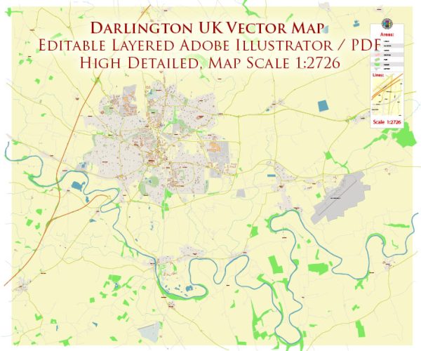
Darlington is a historic market town located in County Durham, in the northeast of England. Its history can be traced back to Roman times, and it has played a significant role in the industrial and transportation development of the region. Here is a brief overview of Darlington’s history:
- Roman Origins: The area that is now Darlington was likely settled by the Romans, and evidence of Roman roads and settlements has been found in the vicinity.
- Norman Conquest: After the Norman Conquest of 1066, the region came under Norman control, and a Norman castle was built in the area.
- Medieval Period: In the medieval period, Darlington grew as a market town. It received a market charter in 1183 and a fair charter in 1189, which helped establish its position as a commercial center.
- Industrial Revolution: Darlington’s history is closely tied to the Industrial Revolution in England. It became a significant center for the production of linen and woolen cloth. The town also played a crucial role in the development of the railway industry. In 1825, George Stephenson’s locomotive “Locomotion No. 1” hauled the world’s first passenger train on the Stockton and Darlington Railway, which is often considered the birth of the modern railway system.
- Victorian Era: The railway industry continued to thrive in Darlington throughout the 19th century. The town’s architecture from this period reflects its prosperity, with notable landmarks like the clock tower, built in 1860.
- 20th Century: Darlington saw further growth and development during the 20th century. The railway industry remained an essential part of the town’s economy, and Darlington was home to locomotive manufacturing facilities. However, the decline of heavy industry in the latter half of the 20th century had an impact on the local economy.
- Modern Times: Today, Darlington is a thriving market town with a mix of historical and modern elements. It is known for its attractive town center, including the Victorian clock tower, and is surrounded by scenic countryside. The town’s railway heritage is celebrated at the Head of Steam Railway Museum.
Darlington has a rich history, particularly in the context of industrialization and transportation, and its contributions to the early development of the railway system have left a lasting legacy. It continues to be an important hub in the northeast of England.


 Author: Kirill Shrayber, Ph.D.