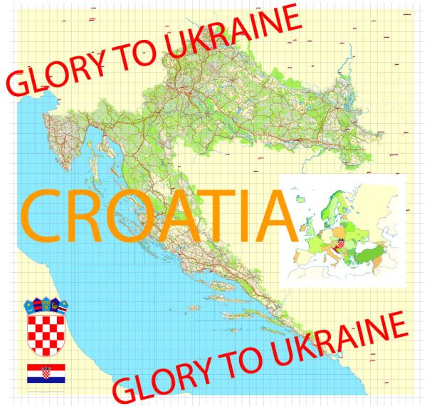
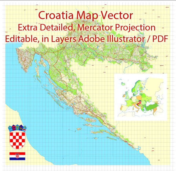
Croatia is a country located in southeastern Europe on the Balkan Peninsula. It is known for its diverse geography, which includes a long coastline along the Adriatic Sea and a varied interior that ranges from low plains to high mountains. Here’s a geographical description of Croatia:
- Coastline: Croatia boasts a stunning coastline along the Adriatic Sea, stretching for approximately 1,777 kilometers (1,104 miles). This coastline is renowned for its picturesque beaches, clear blue waters, and numerous islands, making it a popular destination for tourists.
- Islands: Croatia has over a thousand islands, islets, and reefs, with the largest ones being well-known for their beauty and historical significance. Some of the notable islands include Hvar, Brac, Korcula, and Krk.
- Dalmatian Coast: The southern part of the Croatian coast is referred to as the Dalmatian Coast, and it’s particularly famous for its scenic beauty, historic cities (such as Dubrovnik and Split), and rich cultural heritage.
- Inland Regions: Moving away from the coast, the geography becomes more diverse. The northern and central parts of Croatia feature lowlands and plateaus. These areas are agriculturally productive, with fertile plains suitable for farming.
- Dinaric Alps: In the western part of the country, you’ll find the Dinaric Alps, a mountain range that runs parallel to the coastline. This region is characterized by rugged terrain, deep canyons, and karst landscapes. The highest peak in Croatia, Dinara, is located in this mountain range.
- Plitvice Lakes National Park: This is one of Croatia’s most famous natural attractions, known for its cascading lakes and waterfalls. It’s situated in the heavily forested region of Lika, within the Dinaric Alps.
- River Systems: Croatia is crisscrossed by several major rivers, including the Sava, Drava, and Danube in the northeast, and the Una in the west. These rivers are essential for the country’s transport and provide fertile plains for agriculture.
- Climate: Croatia has a diverse climate. The coastal regions have a Mediterranean climate with hot, dry summers and mild, wet winters. Inland regions experience a more continental climate with hot summers and cold winters. The mountainous areas have an alpine climate with heavy snowfall in winter.
- Natural Beauty: Croatia’s diverse geography and natural beauty make it a popular destination for outdoor enthusiasts. Activities such as hiking, sailing, and water sports are popular, and the country’s national parks and nature reserves offer opportunities for wildlife and nature exploration.
Croatia’s unique combination of coastal beauty, historic cities, and diverse landscapes make it a captivating destination for travelers and a country with a rich geographical tapestry.


 Author: Kirill Shrayber, Ph.D. FRGS