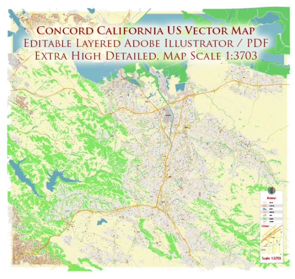
Concord, California, is a city located in Contra Costa County in the San Francisco Bay Area. Its history is deeply intertwined with the broader historical developments of the region and the United States as a whole. Here’s a brief description of the historical context and key events in Concord’s history:
- Native American Presence: Before European settlers arrived, the area now known as Concord was inhabited by Native American tribes, including the Bay Miwok. These indigenous people had a long history in the region, living off the land’s natural resources.
- Spanish and Mexican Era: In the late 18th century, Spanish explorers and missionaries, including Father Junipero Serra, began to establish missions and ranchos in California. The Mexican government took control of California in the early 19th century, and the land where Concord is located was granted to Don Salvio Pacheco in 1834.
- American Settlement: With the conclusion of the Mexican-American War in 1848 and the subsequent signing of the Treaty of Guadalupe Hidalgo, California became part of the United States. In the mid-19th century, American settlers began to arrive in the area, drawn by the fertile land and opportunities for agriculture.
- Agricultural Development: Concord’s early economy was largely based on agriculture, including wheat, grapes, and other crops. The arrival of the Central Pacific Railroad in the 1860s facilitated trade and helped the town grow.
- Industrialization: In the early 20th century, Concord began to see industrial development, including the establishment of a naval weapons station during World War II. The naval base played a significant role in the local economy for decades.
- Incorporation and Growth: Concord officially incorporated as a city in 1905. The city’s population expanded, particularly after World War II, as returning veterans and their families sought housing in the region. This post-war period marked a significant growth phase for Concord.
- Modernization and Diversification: Over time, Concord’s economy diversified beyond agriculture and military industries. It became a part of the greater San Francisco Bay Area’s suburban landscape and has developed as a residential and commercial hub.
- Community and Culture: Concord has a vibrant cultural scene, including art galleries, theaters, and community events. The city is home to various parks, recreational facilities, and cultural institutions that contribute to its quality of life.
- Public Transportation: The city is well-connected to the greater Bay Area through its public transportation network, including BART (Bay Area Rapid Transit) and major roadways, making it a desirable place to live for those who work in San Francisco or nearby cities.
Concord, California, has evolved from its early agricultural and industrial roots into a thriving, diverse community within the San Francisco Bay Area. Its rich history reflects the broader trends and developments of the region and the United States.


 Author: Kirill Shrayber, Ph.D. FRGS