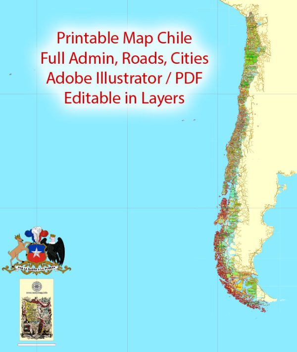
Chile is a long, narrow country located on the western edge of South America. It is known for its remarkable geographic diversity, stretching over 4,300 kilometers (2,670 miles) from north to south while averaging just 177 kilometers (110 miles) from east to west. Here’s a general geographical description of Chile:
- Geographic Location: Chile is situated along the southwestern coastline of South America, with the Pacific Ocean to the west, Argentina to the east, Bolivia to the northeast, and Peru to the north.
- Coastline: The country boasts one of the world’s longest coastlines, stretching for approximately 6,435 kilometers (4,000 miles). The Pacific coastline is characterized by dramatic cliffs, rocky shores, and numerous islands.
- Regions: Chile is divided into various geographic regions, each with its own unique characteristics. These regions include the arid and hyper-arid Atacama Desert in the north, the fertile Central Valley, the Lake District in the south, and the remote, sparsely populated southern region of Patagonia.
- The Andes Mountains: The Andes mountain range runs along the eastern border of Chile, separating it from neighboring Argentina. This mountain range is home to many active volcanoes, including Ojos del Salado, the highest volcano in the world. The Andes also create a natural barrier, leading to a rain shadow effect that contributes to the arid conditions of the Atacama Desert.
- Desert: The northern part of Chile, particularly the Atacama Desert, is one of the driest places on Earth. It’s characterized by a lack of vegetation and extremely arid conditions, with some areas receiving virtually no rainfall for years at a time.
- Central Valley: The central region of Chile, including the capital city Santiago, is a fertile and productive agricultural area. The Mediterranean climate and rich soils make it ideal for growing grapes, fruits, and other crops.
- Lake District: Further south, you’ll find the Chilean Lake District, which is characterized by numerous picturesque lakes, dense forests, and snow-capped volcanoes. This region is a popular destination for outdoor enthusiasts and nature lovers.
- Patagonia: Southern Chile is home to Patagonia, a remote and rugged wilderness known for its stunning landscapes, including glaciers, fjords, and vast expanses of unspoiled nature.
- Islands: Chile includes several offshore islands, including the Chiloé Archipelago in the south and the Juan Fernández Islands in the Pacific Ocean.
- Climate: Chile’s climate varies widely from north to south. The northern desert region has an extremely arid climate, while the central region has a Mediterranean climate with distinct seasons. Southern Chile experiences more rainfall and a cooler, temperate climate, while Patagonia in the far south has a cold, subpolar climate.
Chile’s diverse geography, ranging from deserts and mountains to forests and fjords, makes it a unique and attractive destination for tourists and a country with significant agricultural and natural resource wealth.


 Author: Kirill Shrayber, Ph.D. FRGS