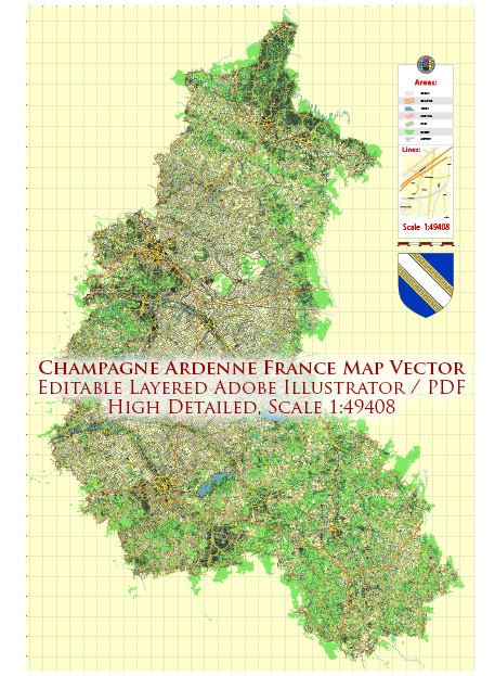
Champagne-Ardenne is a historical region in northeastern France, known for its unique geology and landscape. This region has a diverse geological history that has played a significant role in shaping its topography and natural features. Here is a brief description of the geology of Champagne-Ardenne:
- Limestone Plateaus: One of the most prominent geological features of Champagne-Ardenne is its limestone plateaus. The region is characterized by vast expanses of rolling hills and plateaus formed from sedimentary rock, particularly limestone. These plateaus are often referred to as “Champagne chalk” and are famous for their role in the production of Champagne wine. The chalky soil is well-suited for vineyards.
- Cretaceous Chalk: The chalk found in Champagne-Ardenne dates back to the Cretaceous period, making it tens of millions of years old. This chalk is made up of the remains of tiny marine organisms and is composed of fine-grained, white, and porous rock. It provides excellent drainage for the vineyards and imparts unique mineral characteristics to the wines produced in the region.
- Underground Caves and Cellars: The limestone in Champagne-Ardenne is not only valuable for viticulture but also for the construction of underground caves and cellars. These caves are carved into the soft limestone and have been used for centuries to store and age Champagne wines. The constant temperature and humidity levels in these caves provide ideal conditions for the aging of sparkling wines.
- Sedimentary History: The geology of Champagne-Ardenne is a testament to its ancient past, with layers of sedimentary rock revealing the region’s geological history. Over millions of years, marine sediments accumulated, creating the chalk deposits that are now so crucial to the wine industry.
- Thermal Springs: The region is also known for its thermal springs, which have formed due to geological fault lines. These springs have been used for centuries for their supposed healing properties and have led to the development of spa towns and resorts in Champagne-Ardenne.
Overall, the geology of Champagne-Ardenne is closely intertwined with its cultural and economic heritage, as it provides the foundation for the production of world-renowned Champagne wines and has shaped the landscape and traditions of the region.


 Author: Kirill Shrayber, Ph.D. FRGS