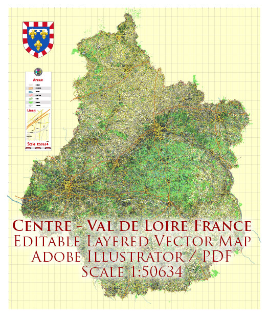
The Centre-Val de Loire region, often simply referred to as Centre, is located in north-central France. It is not typically known for its distinctive or prominent geological features, but rather for its historical, cultural, and architectural significance. However, the region does have some geological characteristics worth noting:
- Loire River Valley: The Loire River, which runs through the region, is a significant geological feature. It has played a crucial role in shaping the landscape and supporting human settlements for centuries. The river has created fertile alluvial plains, and its valley is known for its vineyards and agriculture.
- Karst Landscapes: In some areas of the Centre-Val de Loire, especially in the southern part of the region, you can find karst landscapes. Karst topography is characterized by sinkholes, underground caves, and limestone formations. These geological features have made the region attractive for speleologists and cave enthusiasts.
- Limestone: Much of the region is underlain by limestone rock, which is a sedimentary rock composed primarily of calcium carbonate. This limestone has been used extensively in the construction of many historic buildings, including the famous châteaux (castles) of the Loire Valley.
- Volcanic Activity: In the southern part of the region, near the Massif Central, there are remnants of past volcanic activity. The Chaîne des Puys, a chain of volcanic hills, is part of the larger Limagne fault system and is a UNESCO World Heritage site. This volcanic activity has influenced the geological diversity of the region.
- Rivers and Lakes: Aside from the Loire River, the region has several other rivers and lakes that have contributed to its geological character. These water bodies have shaped the land, creating valleys and wetland areas.
It’s important to note that the geological features of Centre-Val de Loire, while interesting, are not the primary draw for tourists and researchers. The region is more renowned for its cultural heritage, including the numerous historic châteaux, beautiful towns, and vineyards that dot the landscape.


 Author: Kirill Shrayber, Ph.D. FRGS