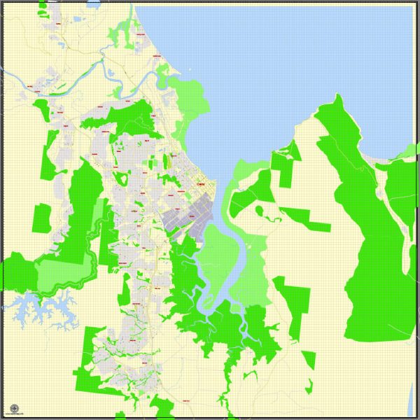
Cairns is a city located in the northeastern part of Australia, in the state of Queensland. The geology of Cairns is closely tied to its unique geographic location and the broader geological history of the region. Here’s a description of the geology of Cairns:
- Coastal Setting: Cairns is situated along the eastern coast of Australia, adjacent to the Coral Sea. This coastal location has a significant impact on the city’s geology, as it influences factors such as landforms, soil types, and potential geological hazards.
- Great Barrier Reef: One of the most significant geological features near Cairns is the Great Barrier Reef, which extends along the coast. The reef is composed of coral and is the largest coral reef system in the world. It is a testament to the geological processes that have shaped the region, with the reef itself being built by the accumulation of coral skeletons over millions of years.
- Alluvial Plains: The region around Cairns is characterized by alluvial plains, particularly in the low-lying areas near the coast. These plains are formed by sediment deposition from rivers and creeks that flow from the mountainous interior towards the coast. The soils in these plains are fertile, making them suitable for agriculture.
- Tropical Rainforests: The Cairns region is part of the Wet Tropics of Queensland, a UNESCO World Heritage-listed area that includes lush tropical rainforests. The geology of the rainforests is intertwined with the topography and climate of the area, with many of the region’s plant species being adapted to the specific geology and soils.
- Atherton Tableland: To the west of Cairns, the landscape rises to the Atherton Tableland, a highland region characterized by volcanic activity. The soils in this area are rich and well-suited for agriculture, particularly in growing crops like coffee and avocados. The volcanic history of the Tableland has left behind distinctive landforms and geology.
- Volcanic History: The region around Cairns has a history of volcanic activity, with some of the prominent volcanic peaks like Walsh’s Pyramid and Mount Bartle Frere in the surrounding region. These volcanic remnants have contributed to the region’s topography and geological diversity.
- Geological Hazards: Cairns is susceptible to geological hazards like cyclones, flooding, and landslides due to its tropical climate and coastal location. The city and its infrastructure are designed to withstand and mitigate the impact of these hazards.
Overall, Cairns and its surroundings offer a diverse geological landscape, from the coastal areas with coral reefs to the fertile alluvial plains, tropical rainforests, and volcanic highlands. This geological diversity is a testament to the complex geological history and processes that have shaped the region over millions of years.


 Author: Kirill Shrayber, Ph.D.